Eines vorab:
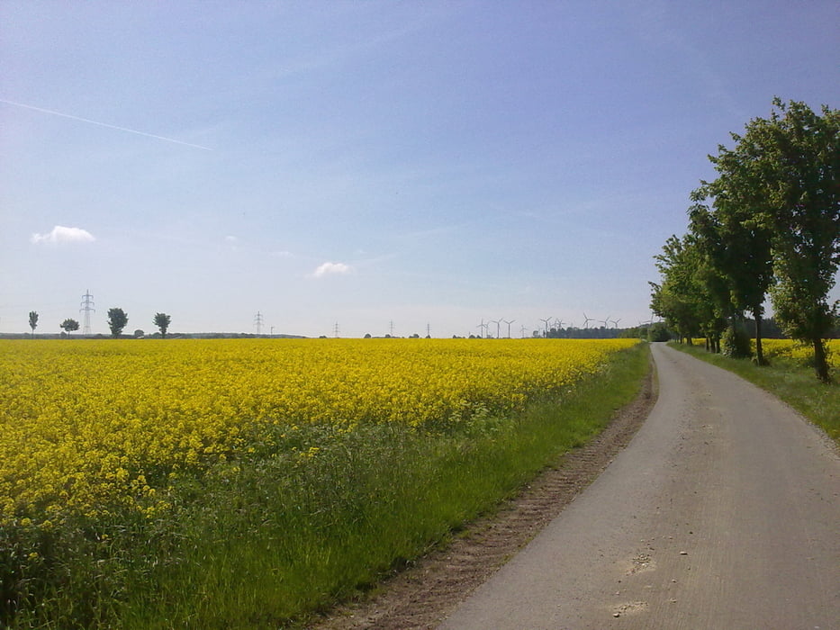
Habe die Tour zunaechst im Internet als Track erstellt und musste kurz hinter Atteln feststellen, dass dort zwei ca. 800m lange Schotterpassagen sind, die man aber fahren kann. Ansonsten hat's fein Spass gemacht, zumal man an etlichen sehenswerten Stellen vorbei kommt.
Further information at
http://www.paderborner-land.de/Tour gallery
Tour map and elevation profile
Minimum height 159 m
Maximum height 487 m
Comments

GPS tracks
Trackpoints-
GPX / Garmin Map Source (gpx) download
-
TCX / Garmin Training Center® (tcx) download
-
CRS / Garmin Training Center® (crs) download
-
Google Earth (kml) download
-
G7ToWin (g7t) download
-
TTQV (trk) download
-
Overlay (ovl) download
-
Fugawi (txt) download
-
Kompass (DAV) Track (tk) download
-
Track data sheet (pdf) download
-
Original file of the author (gpx) download
Add to my favorites
Remove from my favorites
Edit tags
Open track
My score
Rate


