


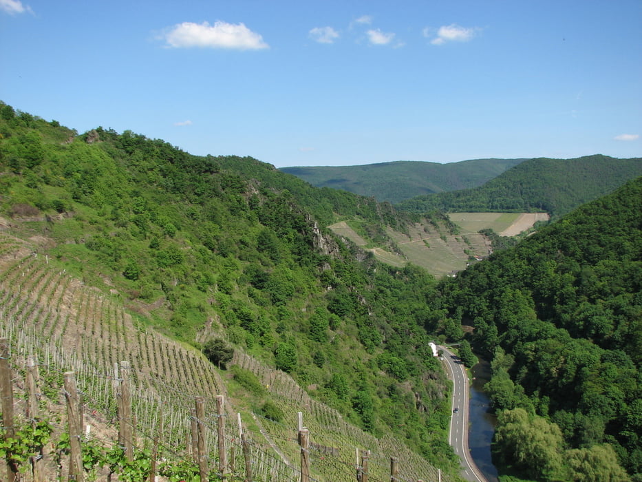
Neben den Resten der Vorburg und eines Tores, der sogenannten Gymnichportz, sind von der Hochburg heute noch der Torturm, die Wehrmauer und Teile der Burgkapelle erhalten. Die Lage der Burgruine bietet aber eine herrliche Aussicht in das Ahrtal und auf das "Altenahrer Eck".
Der Wanderweg zur Burg führt von Ahrweiler zunächst unterhalb des Weinberges südlich Lantershofen entlang, bevor er in den Weinberg Steinräusch und weiter in Richtung des Holzweiler Kreuzes führt. Hinter dem Buchenberg geht es nach links weiter in Richtung Dernau. Am Wanderparkplatz südlich von Esch geht es dann weiter nach Westen, über die K 35, zum Weidenhardt Berg. Ab hier erfolgt der Abstieg in Richtung Altenahr, der Weg führt dabei über den Eifelblick zur Burg Are. Von der Burgruine sind es dann noch ca. 30 min bis zum Bahnhof in Altenahr.
Tour gallery


Tour map and elevation profile
Minimum height 103 m
Maximum height 401 m
More about the tour author

|
vogelsang38 |
Comments

Bahnhof Ahrweiler im Ahrtal.
GPS tracks
Trackpoints-
GPX / Garmin Map Source (gpx) download
-
TCX / Garmin Training Center® (tcx) download
-
CRS / Garmin Training Center® (crs) download
-
Google Earth (kml) download
-
G7ToWin (g7t) download
-
TTQV (trk) download
-
Overlay (ovl) download
-
Fugawi (txt) download
-
Kompass (DAV) Track (tk) download
-
Track data sheet (pdf) download
-
Original file of the author (gpx) download
More about the tour author
|
|
vogelsang38 |
Add to my favorites
Remove from my favorites
Edit tags
Open track
My score
Rate