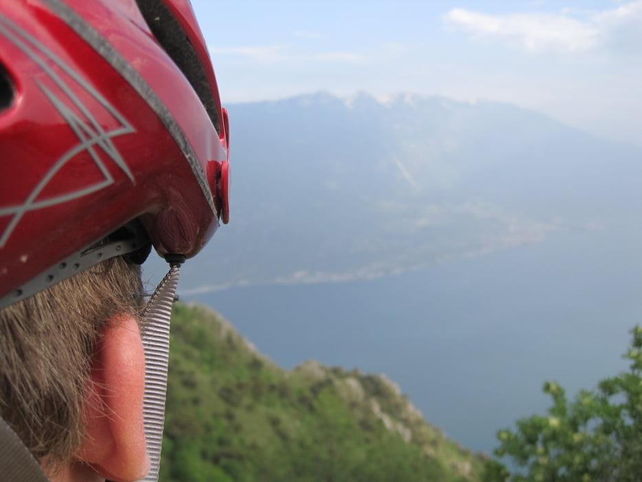
Login

Forgotten password?

Cookies have to be accepted!
Your browser's cookie functionality is disabled. Please enable this functionality.

Not a member yet?

Register now
Login

Available for registred users only

Log in to use this feature.

Forgotten password?

Cookies have to be accepted!
Your browser's cookie functionality is disabled. Please enable this functionality.

Not a member yet?

Register now
Filter
Categories
Advanced filters
  • Distance (km)
  • Height
Save filters Reset filter

TrackRank

QRCode

Technical data

Distance67,9 km Height2130 m Way down2119 m Duration07:00 h:m Date07.06.2010
Scores Author Landscape Fun factor Fitness Technique

Statistics

662 Views 1 Score 107 Downloads 1.00 Average
Rate
  • Track data sheet
  • Directions
  • Downloads

Tour gallery

Tour map and elevation profile

  • Open Street Map
  • Google
Minimum height 66 m Maximum height 1832 m Detailed view

More about the tour author

flopsy2000
Member since 2010

Send private message

Comments

Von Riva mit dem Schiff nach Limone und dann sehr steil den Berg in Limone hoch, dann immer der Tour folgen. Angekommen am Tremalzo ein Weizen und was zu Essen, dann ab durchs Tunnel hinab Richtung Gardasee immer dem Navi nach.....

Scheee wars.... und viel Spass!

GPS tracks

Trackpoints
  • GPX / Garmin Map Source (gpx) download
  • TCX / Garmin Training Center® (tcx) download
  • CRS / Garmin Training Center® (crs) download
  • Google Earth (kml) download
  • G7ToWin (g7t) download
  • TTQV (trk) download
  • Overlay (ovl) download
  • Fugawi (txt) download
  • Kompass (DAV) Track (tk) download
  • Track data sheet (pdf) download
  • Original file of the author (gpx) download

More about the tour author

flopsy2000
Member since 2010

Send private message
Share track
Add to my favorites
Remove from my favorites
Edit tags
My score
Rate
Track: Limone-Tremalzo-Riva
Type: Mountain bike
Distance: 67,9 km
Evaluated on:
Duration:
Day(s)
Hour(s)
Minute(s)
Score: Landscape Fun factor Fitness Technique