


Landschaftlich traumhafte Strecke durch den Pfaffenwinkel, durch das gesamte Lechtal, einen Teil des Bregenzer Waldes bis an den Bodensee. Ich bin es in zwei Tagen gefahren. Übernachten im empfehlenswerten Hotel Post in Steeg.
Im Lechtal teilweise nur die Bundesstrasse möglich. Aber da ich unter der Woche in der Nebensaison gefahren bin, war absolut kein Verkehr.
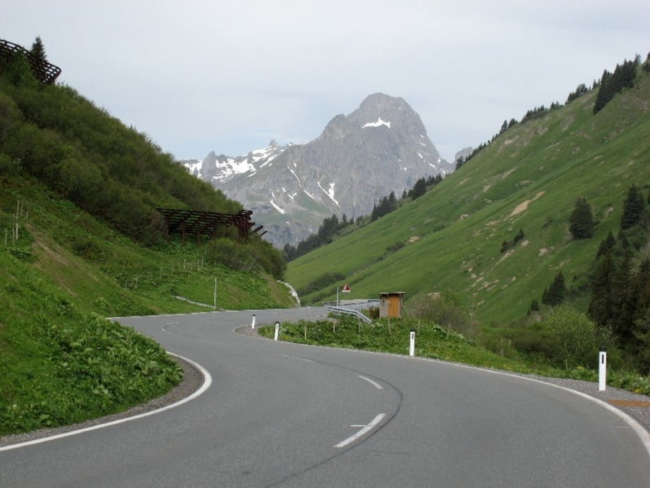
Im Bregenzer Wald anstrengendes Auf und Ab. Highlights für alle, die Spass am Abfahren haben: Abfahrt vom Hochtannberg sowie die finale Abfahrt nach Lindau auf kleiner Strasse.
Rückfahrt problemlos mit dem Zug.
Tour gallery


Tour map and elevation profile
Minimum height 424 m
Maximum height 1675 m
More about the tour author

|
Tourmalet |
Comments

GPS tracks
Trackpoints-
GPX / Garmin Map Source (gpx) download
-
TCX / Garmin Training Center® (tcx) download
-
CRS / Garmin Training Center® (crs) download
-
Google Earth (kml) download
-
G7ToWin (g7t) download
-
TTQV (trk) download
-
Overlay (ovl) download
-
Fugawi (txt) download
-
Kompass (DAV) Track (tk) download
-
Track data sheet (pdf) download
-
Original file of the author (gpx) download
More about the tour author
|
|
Tourmalet |
Add to my favorites
Remove from my favorites
Edit tags
Open track
My score
Rate