Login

Forgotten password?

Cookies have to be accepted!
Your browser's cookie functionality is disabled. Please enable this functionality.

Not a member yet?

Register now
Login

Available for registred users only

Log in to use this feature.

Forgotten password?

Cookies have to be accepted!
Your browser's cookie functionality is disabled. Please enable this functionality.

Not a member yet?

Register now
Filter
Categories
Advanced filters
  • Distance (km)
  • Height
Save filters Reset filter

TrackRank

QRCode

Technical data

Distance19,2 km Height633 m Way down639 m Duration1 day 6 h Date14.06.2010
Scores Author Landscape Fun factor Fitness Technique

Statistics

433 Views Scores 62 Downloads Average
Rate
  • Track data sheet
  • Directions
  • Downloads

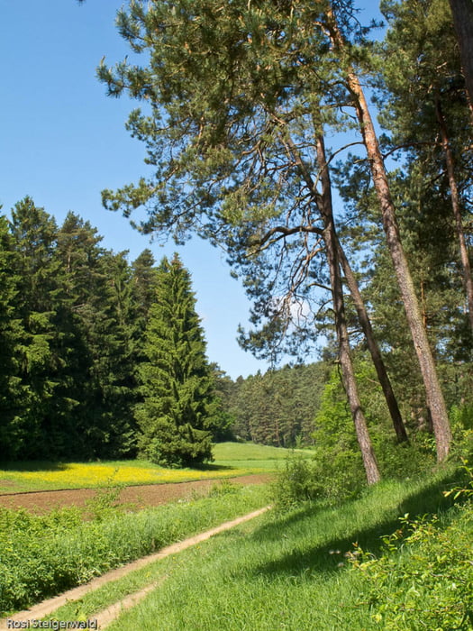
Eine Tour, die gut geeignet ist, nach regnerischem Wetter zu machen, da die Wege meistens gut angelegt sind.

Tour gallery

Tour map and elevation profile

  • Open Street Map
  • Google
Minimum height 298 m Maximum height 574 m Detailed view

More about the tour author

vinrouge
Member since 2008

Send private message

Comments

Nach Neuhaus/Pegnitz über die A9 Ausfahrt Plech. Parken am Bahnhof.

GPS tracks

Trackpoints
  • GPX / Garmin Map Source (gpx) download
  • TCX / Garmin Training Center® (tcx) download
  • CRS / Garmin Training Center® (crs) download
  • Google Earth (kml) download
  • G7ToWin (g7t) download
  • TTQV (trk) download
  • Overlay (ovl) download
  • Fugawi (txt) download
  • Kompass (DAV) Track (tk) download
  • Track data sheet (pdf) download
  • Original file of the author (gpx) download

More about the tour author

vinrouge
Member since 2008

Send private message
Share track
Add to my favorites
Remove from my favorites
Edit tags
My score
Rate
Track: Veldensteiner Forst
Type: Hiking
Distance: 19,2 km
Evaluated on:
Duration:
Day(s)
Hour(s)
Minute(s)
Score: Landscape Fun factor Fitness Technique