


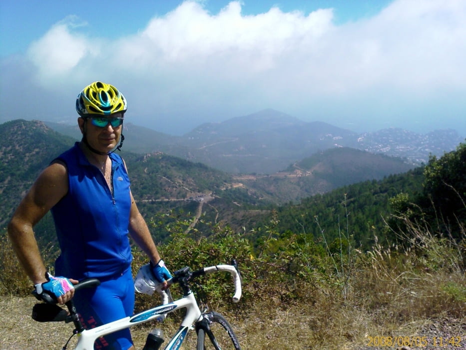
Bellissimo percorso nella zona del massiccio dell'Esterl, la strada, specialmente nella zona interna, è un po' accidentata ma percorribile anche in bicicletta da corsa, totalmente asfaltata, salvo un brevissimo tratto di circa 50 m che è sterrata ma padalabile con un po' di attenzione.
Il panorama e grandioso, però può fare molto caldo specialmente tra luglio ed agosto.
Attenzione non ci sono fontanelle.
Tour gallery
Tour map and elevation profile
Minimum height -1 m
Maximum height 468 m
More about the tour author

|
matluc |
Comments

La strada litoranea tra La Napoule e Agay è piena di posteggi
GPS tracks
Trackpoints-
GPX / Garmin Map Source (gpx) download
-
TCX / Garmin Training Center® (tcx) download
-
CRS / Garmin Training Center® (crs) download
-
Google Earth (kml) download
-
G7ToWin (g7t) download
-
TTQV (trk) download
-
Overlay (ovl) download
-
Fugawi (txt) download
-
Kompass (DAV) Track (tk) download
-
Track data sheet (pdf) download
-
Original file of the author (gpx) download
More about the tour author
|
|
matluc |
Add to my favorites
Remove from my favorites
Edit tags
Open track
My score
Rate