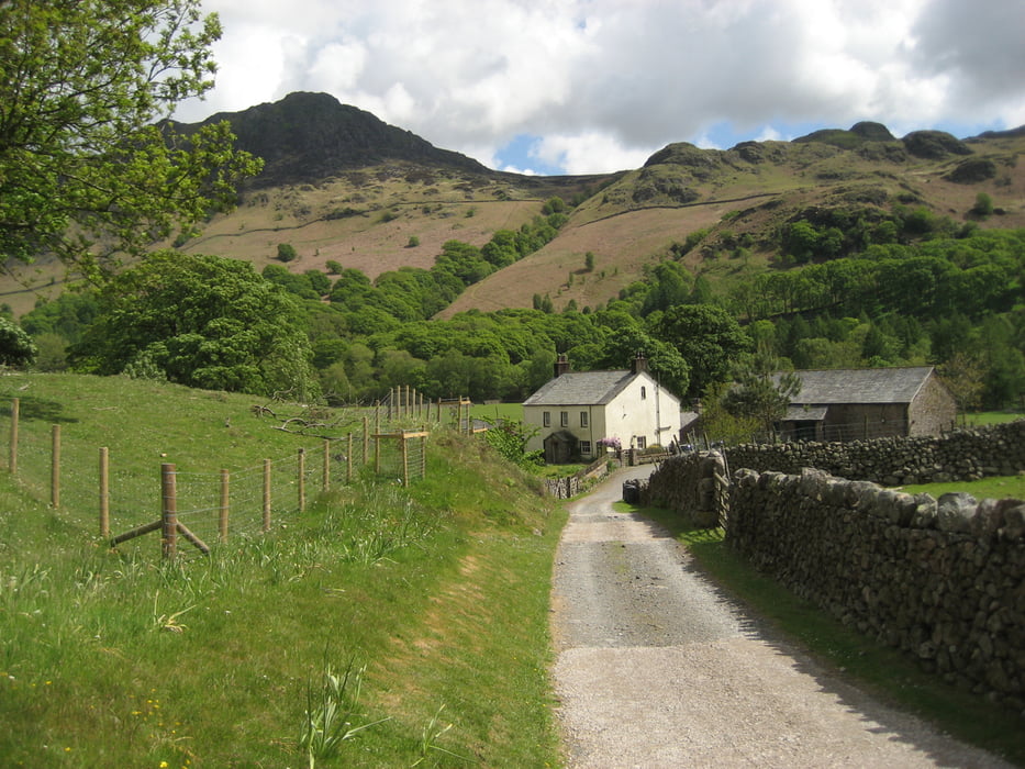
Die Tour startet an der Wha House Farm und man folgt ca. eine Meile der kleinen Asphaltierten Straße in Richtung Woolpack Inn. Hinter dem Pub biegt man rechts in eine kleine Gasse ein und durchwandert einen kleinen Hinterhof um dann direkt Richtung Eel Tarn zu gehen.
Tour gallery
Tour map and elevation profile
Minimum height 50 m
Maximum height 223 m
Comments

GPS tracks
Trackpoints-
GPX / Garmin Map Source (gpx) download
-
TCX / Garmin Training Center® (tcx) download
-
CRS / Garmin Training Center® (crs) download
-
Google Earth (kml) download
-
G7ToWin (g7t) download
-
TTQV (trk) download
-
Overlay (ovl) download
-
Fugawi (txt) download
-
Kompass (DAV) Track (tk) download
-
Track data sheet (pdf) download
-
Original file of the author (gpx) download
Add to my favorites
Remove from my favorites
Edit tags
Open track
My score
Rate


