


Super Tour da sehr abwechslungsreich: Schöne Abfahrten, anstrengende Auffahrten, schöne Landschaft.
Von Gräfenberg gehts auf Schotterwegen nach Haidhof dann nach Eggloffsteinerhüll. Weiter auf Gelbstrich Ri. Trubachtal. Über eine steile, schmale Rinne(schwer zu finden - super Abfahrt) hinab nach Schweintal. Jetzt lange anstrengende Auffahrt über Wanderweg vorbei am "Hängenden Stein" nach Wichsenstein. Auf der Höhe bleibend nach Biebergach, Bärenfels und Hundsdorf . Einkehrmöglichkeit Stangelwirt Zum Signalstein!!!!!!!! Dann kurz der MTB-Tour Obertrubach Ri. Wolfsberg folgen . Achtung! richtige Abzweig nicht verpassen, da unsere Abfahrt schöner und anspruchsvoller als MTB-Route ist. Von Wolfsb. Ziegelwegauffahrt nach Schossaritz undzum Ende Schotter nach Kappel, Kemathen, Gräfenberg.
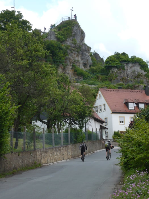
Tour gallery


Tour map and elevation profile
Minimum height 314 m
Maximum height 601 m
More about the tour author
|
|
martina63ch |
Comments
GPS tracks
Trackpoints-
GPX / Garmin Map Source (gpx) download
-
TCX / Garmin Training Center® (tcx) download
-
CRS / Garmin Training Center® (crs) download
-
Google Earth (kml) download
-
G7ToWin (g7t) download
-
TTQV (trk) download
-
Overlay (ovl) download
-
Fugawi (txt) download
-
Kompass (DAV) Track (tk) download
-
Track data sheet (pdf) download
-
Original file of the author (gpx) download
More about the tour author
|
|
martina63ch |
Add to my favorites
Remove from my favorites
Edit tags
Open track
My score
Rate
Super Tour
da hast ja mal wieder eine schöne Tour eingestellt. Hat viel spaß gemacht. Danke und weiter so
Grüße
Markus
Schöne Tour
Danke fürs reinstellen!