


Einstieg über Bamberg Berliner Ring (vom Bhf leicht zu finden)
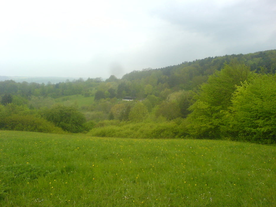
Zuerst gehts rüber nach Dörfleins, dann hoch auf den Kreuzberg.
Wald- und Wurzeltrails führen zum Mönchsee, der auf spassigen Wurzeltrails umfahren wird.
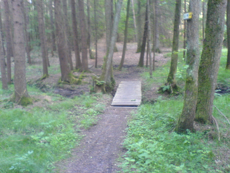
Zurück gehts über zwei sehr flache Northshoreelemente (Brücken) über Kreuzberg wieder Richtung Bamberg.
Ist nicht zu anstrengend und macht viel Spass!
Tour gallery
Tour map and elevation profile
Minimum height 224 m
Maximum height 354 m
More about the tour author
|
|
slimboyt |
Comments

Einstieg bei Bosch, vom Bhf aus leicht zu erreichen.
GPS tracks
Trackpoints-
GPX / Garmin Map Source (gpx) download
-
TCX / Garmin Training Center® (tcx) download
-
CRS / Garmin Training Center® (crs) download
-
Google Earth (kml) download
-
G7ToWin (g7t) download
-
TTQV (trk) download
-
Overlay (ovl) download
-
Fugawi (txt) download
-
Kompass (DAV) Track (tk) download
-
Track data sheet (pdf) download
-
Original file of the author (gpx) download
More about the tour author
|
|
slimboyt |
Add to my favorites
Remove from my favorites
Edit tags
Open track
My score
Rate