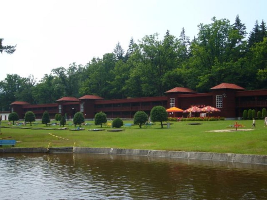
Zunächst geht es vorbei am Freibad, Campingplatz und Wildgarten aus Furth im Wald hinaus. Dann wird der Drachensee halb umrundet. Über Ösbühl und Klöpflesberg geht es zum Grenzübergang Prennetriegel. Im weiteren Verlauf streift man Novy Spalenec, Ceska Kubitze und kommt nach Babylon zum Badeweiher (je nach Lust und Laune Badesachen mitnehmen). Der nächste Ort ist Thranov, hier lohnt sich die Einkehr im "U Svateho Jana" mit schöner Seeterasse. Über Pec gelangt man schließlich nach Fichtenbach und parallel zur kalten Pastritz wieder zurück nach Furth im Wald.
Die Tour führt zum großen Teil über asphaltierte Strecken, oder gute Forstwege und ist daher mit einem guten Treckingrad auch fahrbar.
Further information at
http://de.wikipedia.org/wiki/Ceska_KubiceTour gallery
Tour map and elevation profile
Comments

Die Tour startet am Parkplatz vor der Drachenstich-Festhalle, hier sind ausreichend Parkmöglichkeiten vorhanden.
GPS tracks
Trackpoints-
GPX / Garmin Map Source (gpx) download
-
TCX / Garmin Training Center® (tcx) download
-
CRS / Garmin Training Center® (crs) download
-
Google Earth (kml) download
-
G7ToWin (g7t) download
-
TTQV (trk) download
-
Overlay (ovl) download
-
Fugawi (txt) download
-
Kompass (DAV) Track (tk) download
-
Track data sheet (pdf) download
-
Original file of the author (gpx) download


