
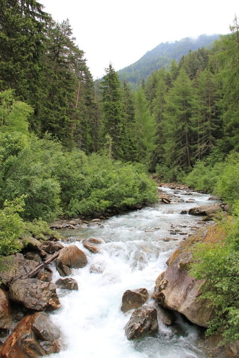

Vom Söldener Wasserkraftwerk ausgehend steigen wir auf und folgen den Wegweisern Windachtal / Windachalm / Fiegls Hütte.
An der Lochle Alm vorbei erreichen wir Fiegls Gasthaus. Nach einer Stärkung geht es nördlich bergauf Richtung Sölden Kogel / Laubkarsee ca. 300 Höhenmeter duch das Nebelkar und Laubkar bis wir zur Kleble Alm gelangen.
Von hier wieder abwärts Richtung Sölden.
Tour gallery


Tour map and elevation profile
Minimum height 1356 m
Maximum height 2337 m
More about the tour author
|
|
armalion |
Comments

Sölden (Parken in der Nähe der Gaiskogelbahn), Start der Tour am Wasserkraftwerk (Oberwindaustr.)
GPS tracks
Trackpoints-
GPX / Garmin Map Source (gpx) download
-
TCX / Garmin Training Center® (tcx) download
-
CRS / Garmin Training Center® (crs) download
-
Google Earth (kml) download
-
G7ToWin (g7t) download
-
TTQV (trk) download
-
Overlay (ovl) download
-
Fugawi (txt) download
-
Kompass (DAV) Track (tk) download
-
Track data sheet (pdf) download
-
Original file of the author (gpx) download
More about the tour author
|
|
armalion |
Add to my favorites
Remove from my favorites
Edit tags
Open track
My score
Rate