Login

Forgotten password?

Cookies have to be accepted!
Your browser's cookie functionality is disabled. Please enable this functionality.

Not a member yet?

Register now
Login

Available for registred users only

Log in to use this feature.

Forgotten password?

Cookies have to be accepted!
Your browser's cookie functionality is disabled. Please enable this functionality.

Not a member yet?

Register now
Filter
Categories
Advanced filters
  • Distance (km)
  • Height
Save filters Reset filter

TrackRank

QRCode

Technical data

Distance6,9 km Height146 m Way down87 m Duration00:00 h:m Date02.07.2010
Scores Author Landscape Fun factor Fitness Technique

Statistics

990 Views Scores 161 Downloads Average
Rate
  • Track data sheet
  • Directions
  • Downloads

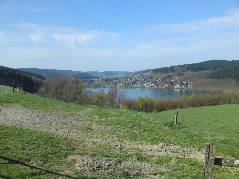
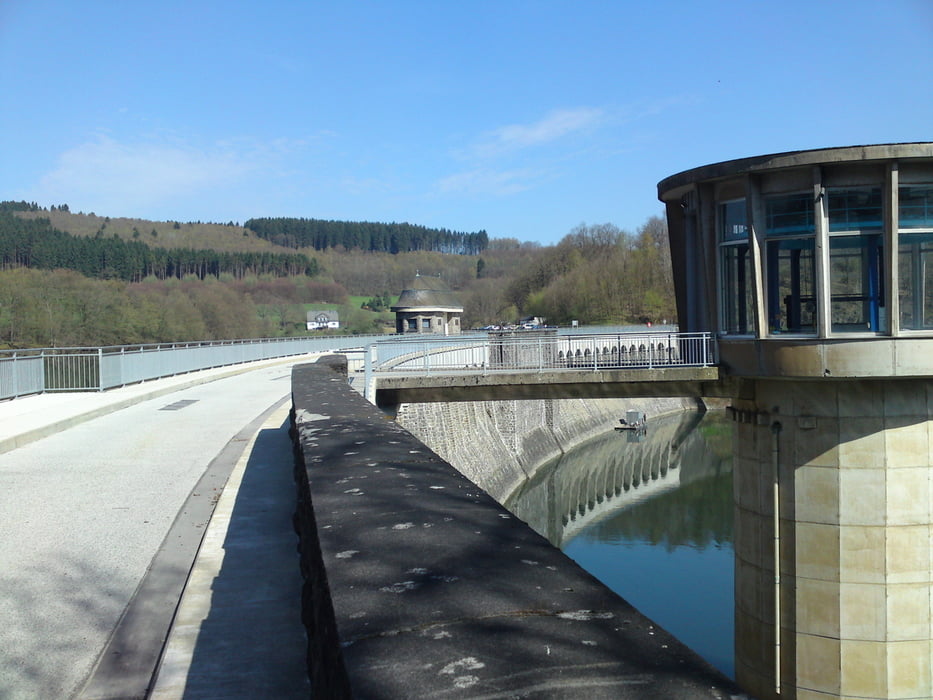
Start u Ziel ist der Parkplatz an der Listersee-Sperrmauer


Diese Tour ist bei schönem Wetter ein Traum, den jeder einmal erlebt haben sollte !

Tour gallery

Tour map and elevation profile

  • Open Street Map
  • Google
Minimum height 254 m Maximum height 390 m Detailed view

More about the tour author

Elsper
Member since 2009

Send private message

Comments

GPS tracks

Trackpoints
  • GPX / Garmin Map Source (gpx) download
  • TCX / Garmin Training Center® (tcx) download
  • CRS / Garmin Training Center® (crs) download
  • Google Earth (kml) download
  • G7ToWin (g7t) download
  • TTQV (trk) download
  • Overlay (ovl) download
  • Fugawi (txt) download
  • Kompass (DAV) Track (tk) download
  • Track data sheet (pdf) download
  • Original file of the author (gpx) download

More about the tour author

Elsper
Member since 2009

Send private message
Share track
Add to my favorites
Remove from my favorites
Edit tags
My score
Rate
Track: Der Listersee (Tour sehr empfehlenswert)
Type: Hiking
Distance: 6,9 km
Evaluated on:
Duration:
Day(s)
Hour(s)
Minute(s)
Score: Landscape Fun factor Fitness Technique