Login

Forgotten password?

Cookies have to be accepted!
Your browser's cookie functionality is disabled. Please enable this functionality.

Not a member yet?

Register now
Login

Available for registred users only

Log in to use this feature.

Forgotten password?

Cookies have to be accepted!
Your browser's cookie functionality is disabled. Please enable this functionality.

Not a member yet?

Register now
Filter
Categories
Advanced filters
  • Distance (km)
  • Height
Save filters Reset filter

TrackRank

QRCode

Technical data

Distance15,9 km Height463 m Way down590 m Duration05:00 h:m Date03.07.2010
Scores Author Landscape Fun factor Fitness Technique

Statistics

269 Views Scores 30 Downloads Average
Rate
  • Track data sheet
  • Directions
  • Downloads

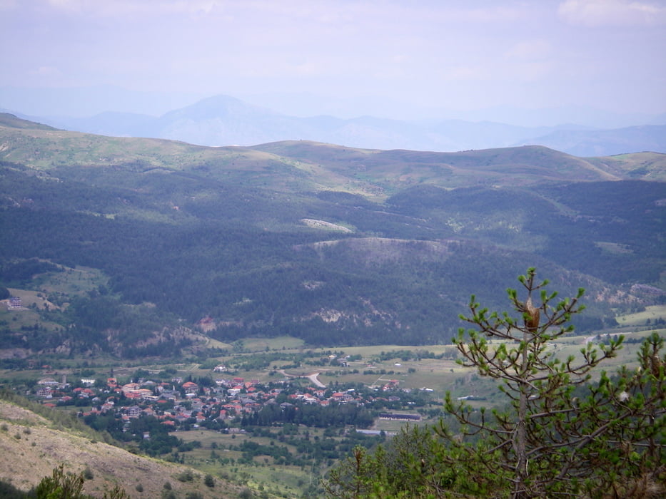
 Wanderung auf den Höhen um Voskopja, oft querfeldein.

Tour map and elevation profile

  • Open Street Map
  • Google
Minimum height 1170 m Maximum height 1425 m Detailed view

More about the tour author

lohanhe
Member since 2010

Send private message

Comments

Start und Ziel: Astrit Zeres Familienpension "Pashuta" (+355 68 266 4372, empfehlenswert) in Voskopoja. 

GPS tracks

Trackpoints
  • GPX / Garmin Map Source (gpx) download
  • TCX / Garmin Training Center® (tcx) download
  • CRS / Garmin Training Center® (crs) download
  • Google Earth (kml) download
  • G7ToWin (g7t) download
  • TTQV (trk) download
  • Overlay (ovl) download
  • Fugawi (txt) download
  • Kompass (DAV) Track (tk) download
  • Track data sheet (pdf) download
  • Original file of the author (gpx) download

More about the tour author

lohanhe
Member since 2010

Send private message
Share track
Add to my favorites
Remove from my favorites
Edit tags
My score
Rate
Track: Voskopoja liqeni
Type: Hiking
Distance: 15,9 km
Evaluated on:
Duration:
Day(s)
Hour(s)
Minute(s)
Score: Landscape Fun factor Fitness Technique