Login

Forgotten password?

Cookies have to be accepted!
Your browser's cookie functionality is disabled. Please enable this functionality.

Not a member yet?

Register now
Login

Available for registred users only

Log in to use this feature.

Forgotten password?

Cookies have to be accepted!
Your browser's cookie functionality is disabled. Please enable this functionality.

Not a member yet?

Register now
Filter
Categories
Advanced filters
  • Distance (km)
  • Height
Save filters Reset filter

TrackRank

QRCode

Technical data

Distance9,5 km Height560 m Way down466 m Duration05:00 h:m Date03.07.2010
Scores Author Landscape Fun factor Fitness Technique

Statistics

255 Views 2 Scores 27 Downloads 4.00 Average
Rate
  • Track data sheet
  • Directions
  • Downloads

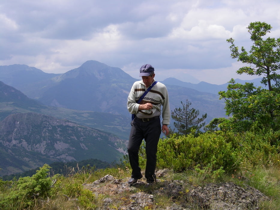
 Schöne Aussichten auf die Mittelgebirgsketten westlich von Voskopoja bis zum Tomori

Tour map and elevation profile

  • Open Street Map
  • Google
Minimum height 1242 m Maximum height 1599 m Detailed view

More about the tour author

lohanhe
Member since 2010

Send private message

Comments

Start und Ziel: einige Kilometer oberhalb von Voskopoja, im Fahrzeug nur mit Vierradantrieb zu erreichen, am besten mit unserem Führer Astrit Zere (+355 68 266 4372)

GPS tracks

Trackpoints
  • GPX / Garmin Map Source (gpx) download
  • TCX / Garmin Training Center® (tcx) download
  • CRS / Garmin Training Center® (crs) download
  • Google Earth (kml) download
  • G7ToWin (g7t) download
  • TTQV (trk) download
  • Overlay (ovl) download
  • Fugawi (txt) download
  • Kompass (DAV) Track (tk) download
  • Track data sheet (pdf) download
  • Original file of the author (gpx) download

More about the tour author

lohanhe
Member since 2010

Send private message
Share track
Add to my favorites
Remove from my favorites
Edit tags
My score
Rate
Track: Voskopoja Maja e Kostamandos
Type: Mountain hiking
Distance: 9,5 km
Evaluated on:
Duration:
Day(s)
Hour(s)
Minute(s)
Score: Landscape Fun factor Fitness Technique