


Eine Radtour des Hanauer Seniorenbüros.
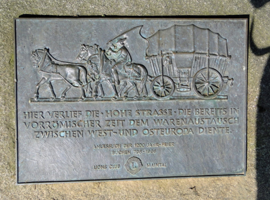
Ich bin von Maintal nach Hanau zum Startpunkt (DRK) geradelt. Weiter ging es über Langenselbold nach Hammersbach zum Einstieg in die HOHE STRASSE. Gleich darauf besuchten wir die Hirzbacher Kapelle (der älteste Sakralbau in Hessen). Rast legten wir ein am WARTBAUM. Gestärkt radelten wir weiter bis zur "Endstation". Dort ist auf einer Tafel einiges über die Hohe Straße nachzulesen. Von Bergen-Enkheim runter ins Tal geht es auf schwach befestigtem Weg ziemlich steil bergab. Bitte vorsichtig und mit Abstand zum Vordermann fahren. Über Maintal ging's dann zurück nach Hanau.
Wer abkürzen möchte, kann kurz nach der HOHEN LOH links zum R4 direkt nach Maintal-Bischofsheim oder auch zum Main radeln.
Further information at
http://www.regionalpark-rheinmain.de/default.asp?action=category&ID=18Tour gallery


Tour map and elevation profile
Minimum height 92 m
Maximum height 201 m
More about the tour author
|
|
Bischemer |
Comments

Da dies eine Rundtour ist können Sie überall ein- und aussteigen.
GPS tracks
Trackpoints-
GPX / Garmin Map Source (gpx) download
-
TCX / Garmin Training Center® (tcx) download
-
CRS / Garmin Training Center® (crs) download
-
Google Earth (kml) download
-
G7ToWin (g7t) download
-
TTQV (trk) download
-
Overlay (ovl) download
-
Fugawi (txt) download
-
Kompass (DAV) Track (tk) download
-
Track data sheet (pdf) download
-
Original file of the author (gpx) download
More about the tour author
|
|
Bischemer |
Add to my favorites
Remove from my favorites
Edit tags
Open track
My score
Rate