Login

Forgotten password?

Cookies have to be accepted!
Your browser's cookie functionality is disabled. Please enable this functionality.

Not a member yet?

Register now
Login

Available for registred users only

Log in to use this feature.

Forgotten password?

Cookies have to be accepted!
Your browser's cookie functionality is disabled. Please enable this functionality.

Not a member yet?

Register now
Filter
Categories
Advanced filters
  • Distance (km)
  • Height
Save filters Reset filter

TrackRank

QRCode

Technical data

Distance95,4 km Height1471 m Way down1492 m Duration06:00 h:m Date12.07.2010
Scores Author Landscape Fun factor Fitness Technique

Statistics

543 Views 2 Scores 54 Downloads 3.00 Average
Rate
  • Track data sheet
  • Directions
  • Downloads


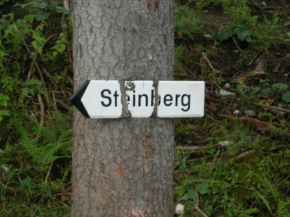
Von Wörgl aus über Rattenberg und Münster zum Achensee und weiter nach Achenkirch dann rauf nach Steinberg am Rofan.

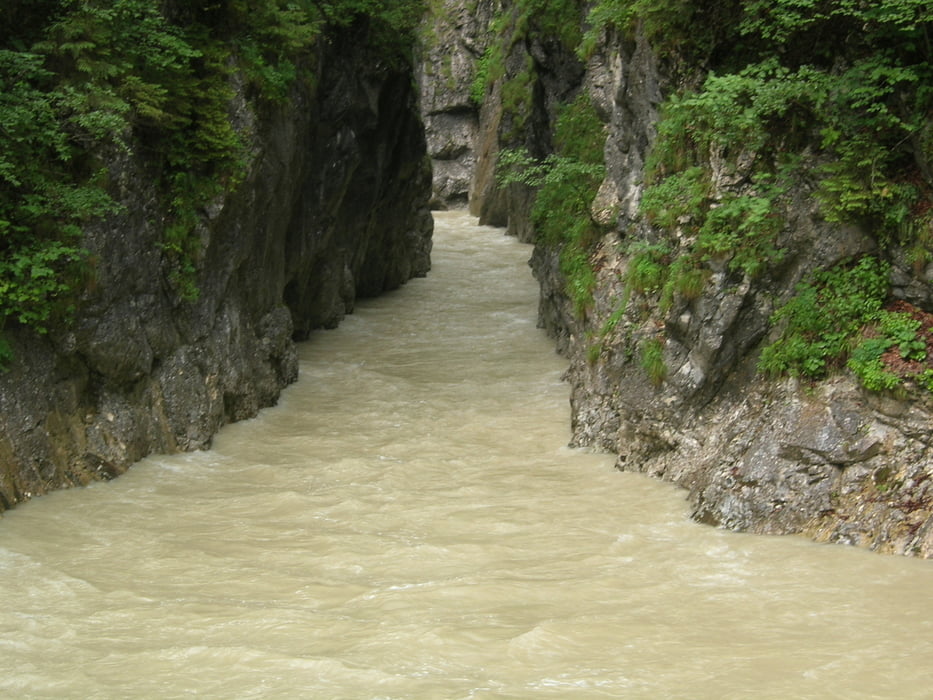
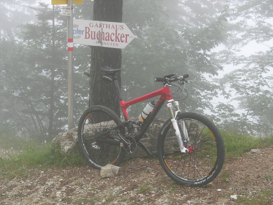
Weiter bis Pinegg und durch die Kaiserklamm zum Fuße des Buchacker und dort rüber nach Mariastein und zurück nach Wörgl.

Tour gallery

Tour map and elevation profile

  • Open Street Map
  • Google
Minimum height 451 m Maximum height 1220 m Detailed view

More about the tour author

LunaLux
Member since 2008

Send private message

Comments

GPS tracks

Trackpoints
  • GPX / Garmin Map Source (gpx) download
  • TCX / Garmin Training Center® (tcx) download
  • CRS / Garmin Training Center® (crs) download
  • Google Earth (kml) download
  • G7ToWin (g7t) download
  • TTQV (trk) download
  • Overlay (ovl) download
  • Fugawi (txt) download
  • Kompass (DAV) Track (tk) download
  • Track data sheet (pdf) download
  • Original file of the author (gpx) download

More about the tour author

LunaLux
Member since 2008

Send private message
Share track
Add to my favorites
Remove from my favorites
Edit tags
My score
Rate
Track: Um den Rofan von Wörgl
Type: Mountain bike
Distance: 95,4 km
Evaluated on:
Duration:
Day(s)
Hour(s)
Minute(s)
Score: Landscape Fun factor Fitness Technique