Login

Forgotten password?

Cookies have to be accepted!
Your browser's cookie functionality is disabled. Please enable this functionality.

Not a member yet?

Register now
Login

Available for registred users only

Log in to use this feature.

Forgotten password?

Cookies have to be accepted!
Your browser's cookie functionality is disabled. Please enable this functionality.

Not a member yet?

Register now
Filter
Categories
Advanced filters
  • Distance (km)
  • Height
Save filters Reset filter

TrackRank

QRCode

Technical data

Distance58,7 km Height2035 m Way down2016 m Duration06:00 h:m Date12.07.2010
Scores Author Landscape Fun factor Fitness Technique

Statistics

1806 Views 1 Score 227 Downloads 4.00 Average
Rate
  • Track data sheet
  • Directions
  • Downloads

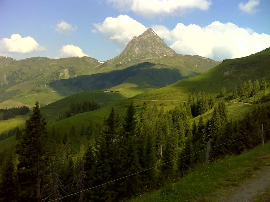
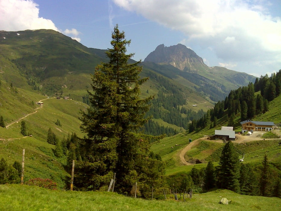
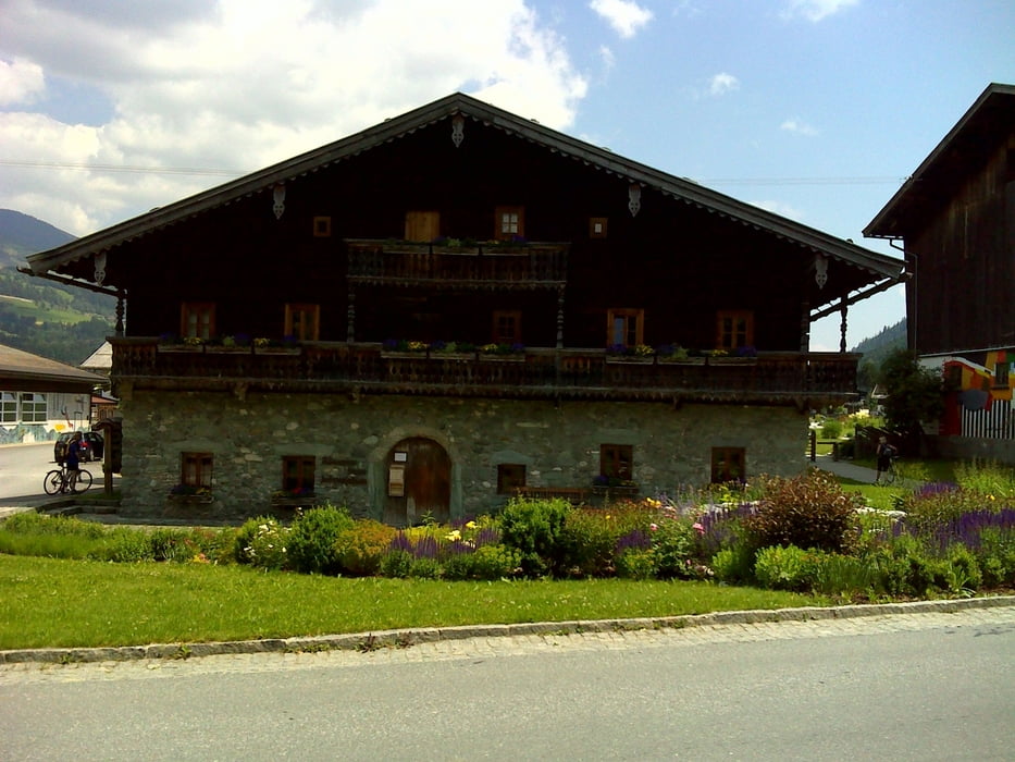
Hollersbach - Mühlbach im Pinzgau - Blattwaldweg - Speichersee Resterhöhe - über neuen Weg zur Panoramaalm - Bergstation 2000er - Leitneralm - Lahnalm - Stangenalm - Baumgartenalm - Haferlalm.- Talstation Pfeifferköpf Lift - Talstation Ganseralmlift - Bergrestaurant Wildkogel - Berggasthaus Wolkenstein - Steineralm - Neukirchen am Großvenediger - über Radweg rechts der Sazach retour nach Hollersbach

Tour gallery

Tour map and elevation profile

  • Open Street Map
  • Google
Minimum height 787 m Maximum height 2090 m Detailed view

More about the tour author

robstoe
Member since 2010

Send private message

Comments

GPS tracks

Trackpoints
  • GPX / Garmin Map Source (gpx) download
  • TCX / Garmin Training Center® (tcx) download
  • CRS / Garmin Training Center® (crs) download
  • Google Earth (kml) download
  • G7ToWin (g7t) download
  • TTQV (trk) download
  • Overlay (ovl) download
  • Fugawi (txt) download
  • Kompass (DAV) Track (tk) download
  • Track data sheet (pdf) download
  • Original file of the author (gpx) download

More about the tour author

robstoe
Member since 2010

Send private message
Share track
Add to my favorites
Remove from my favorites
Edit tags
My score
Rate
Track: Panoramarunde Hollersbach Resterhöhe Wildkogel
Type: Mountain bike
Distance: 58,7 km
Evaluated on:
Duration:
Day(s)
Hour(s)
Minute(s)
Score: Landscape Fun factor Fitness Technique