


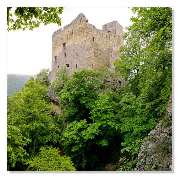
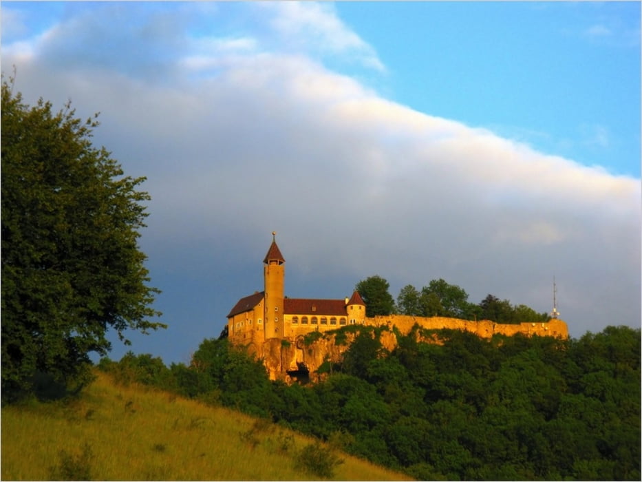
Start in Weilheim=>Deutsches Haus auf der Straße=>weiter bis Abzweig zum Bossler=>Auf Schotter zum Albrand oben=>Am Albrand entlang auf Schotter Richtung Reußenstein, dann Richtung Schopfloch auf der Straße=>Rechts am Naturkundemuseum vorbei bis Abzweig Richtung Engelhof=>Zum Sattelbogen hinunter=>Burg Teck linksherum einkreisen=>die letzten 1500 m sind steil=>auf der Teck bei wunderbarer Aussicht eine Cola genießen=>Danach auf Schotter, Straße und landwirtschaftl. Nutzwegen heim;-)
Tour gallery
Tour map and elevation profile
Minimum height 339 m
Maximum height 806 m
More about the tour author
|
|
akatenango |
Comments

GPS tracks
Trackpoints-
GPX / Garmin Map Source (gpx) download
-
TCX / Garmin Training Center® (tcx) download
-
CRS / Garmin Training Center® (crs) download
-
Google Earth (kml) download
-
G7ToWin (g7t) download
-
TTQV (trk) download
-
Overlay (ovl) download
-
Fugawi (txt) download
-
Kompass (DAV) Track (tk) download
-
Track data sheet (pdf) download
-
Original file of the author (gpx) download
More about the tour author
|
|
akatenango |
Add to my favorites
Remove from my favorites
Edit tags
Open track
My score
Rate