


Schöne Rennradrunde auf den Hohenpeißenberg mit Abkühlmöglichkeit in Starnberger See, Staffel und Riegsee mit Startpunkt Seeshaupt.
Neben dem Anstieg zum Peißenberg zwischendurch immer wieder kurze knackige Rampen. Pausenmöglichkeit auf dem Hohenpeißenberg. Dort auch Wallfahrtskirche zu besichtigen.
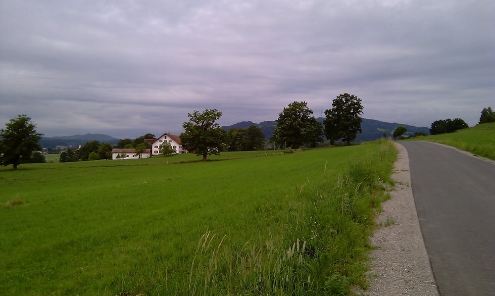
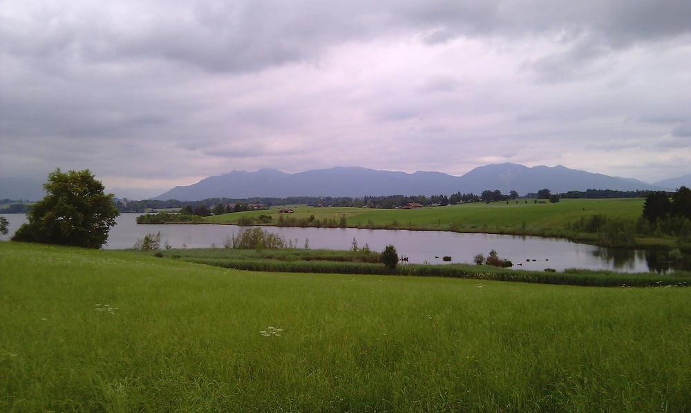
Tour gallery
Tour map and elevation profile
Minimum height 565 m
Maximum height 982 m
More about the tour author

|
fazo |
Comments
Von München auf der A 95 bis Seeshaupt. Parkplatz an der Penzberger Str.
GPS tracks
Trackpoints-
GPX / Garmin Map Source (gpx) download
-
TCX / Garmin Training Center® (tcx) download
-
CRS / Garmin Training Center® (crs) download
-
Google Earth (kml) download
-
G7ToWin (g7t) download
-
TTQV (trk) download
-
Overlay (ovl) download
-
Fugawi (txt) download
-
Kompass (DAV) Track (tk) download
-
Track data sheet (pdf) download
-
Original file of the author (gpx) download
More about the tour author
|
|
fazo |
Add to my favorites
Remove from my favorites
Edit tags
Open track
My score
Rate
Scheee :-)
Störend ist: Viele Wege sind mit viel Steinchen/Split belagert. Die Abfahrt vom Rigi ist teilweise auf schmalen Wegen mit Gegenverkehr, dazu kurvig und steil. Also aufpassen.