


Start in Straßdorf ( aber auch von jedem anderen Ort möglich)
Bahntrasse folgen bis Farndau
Von Farndau bis Uhingen direkt neben der Bahnlinie ( Bitte vorsichtig fahren, da sonst aufgrund des schlechten Strassenzustandes ein Plattfuss droht) folgen.
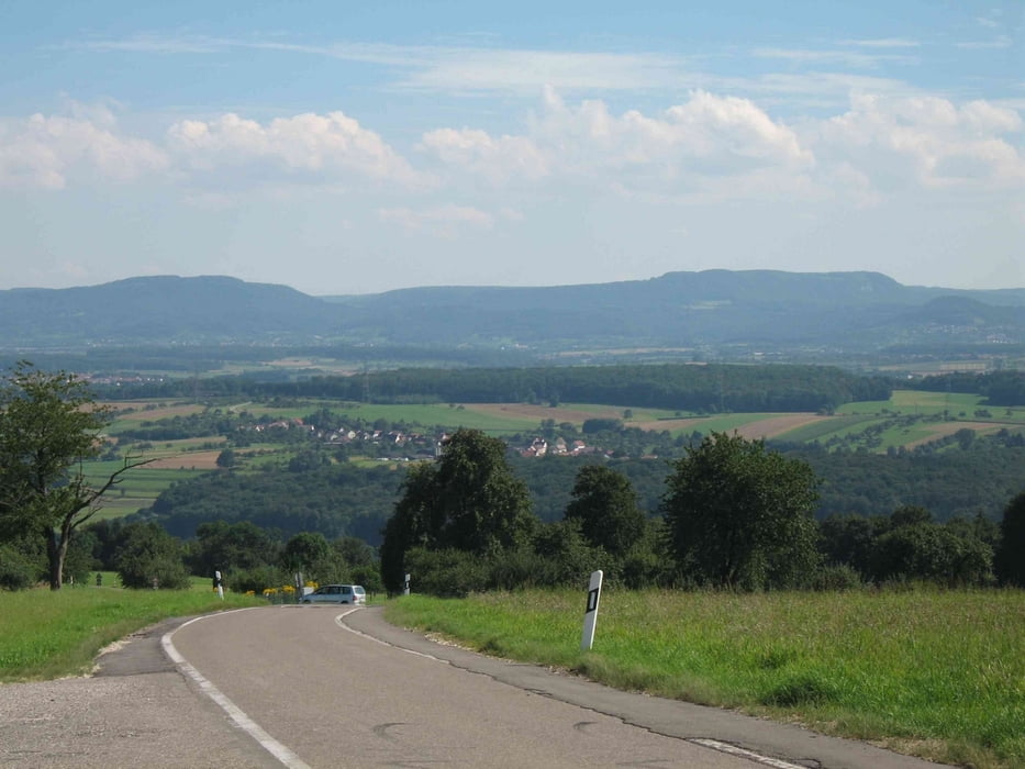
Über Diegelsberg zur Aussichtsplattform von Krapfenreut ( wunderschöne Aussicht)
Danach eben weiter bis Manolzweiler
Der schönste Teil der Strecke folgt nun bergab nach Schnait
Weitergehts nach Weinstadt und dann zurück über die Remstalroute nach Schwäbisch Gmünd
Von dort auf der Bahntrasse zurück nach Straßdorf
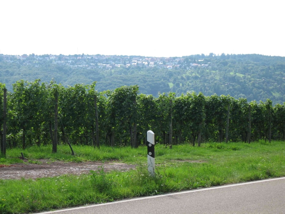
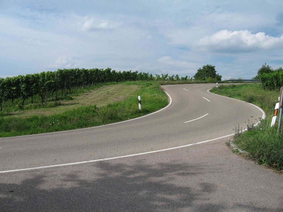
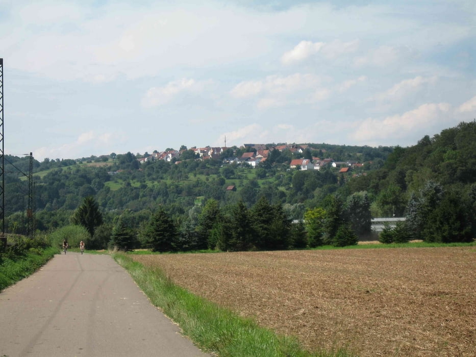
Tour gallery
Tour map and elevation profile
Minimum height 240 m
Maximum height 487 m
More about the tour author

|
juergen_ko |
Comments

GPS tracks
Trackpoints-
GPX / Garmin Map Source (gpx) download
-
TCX / Garmin Training Center® (tcx) download
-
CRS / Garmin Training Center® (crs) download
-
Google Earth (kml) download
-
G7ToWin (g7t) download
-
TTQV (trk) download
-
Overlay (ovl) download
-
Fugawi (txt) download
-
Kompass (DAV) Track (tk) download
-
Track data sheet (pdf) download
-
Original file of the author (gpx) download
More about the tour author
|
|
juergen_ko |
Add to my favorites
Remove from my favorites
Edit tags
Open track
My score
Rate