


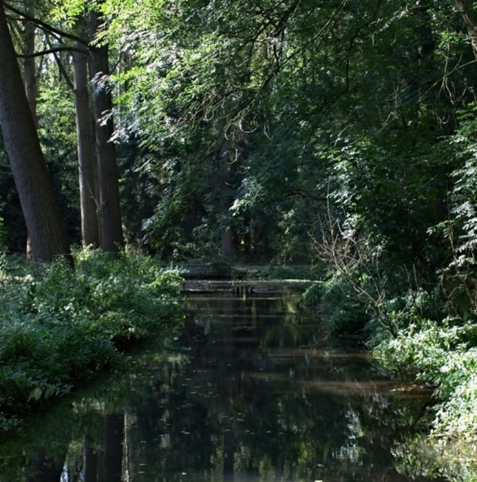
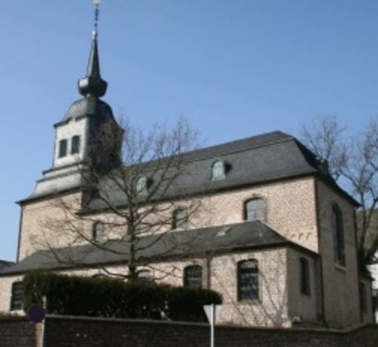
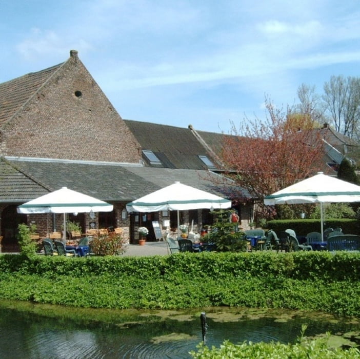
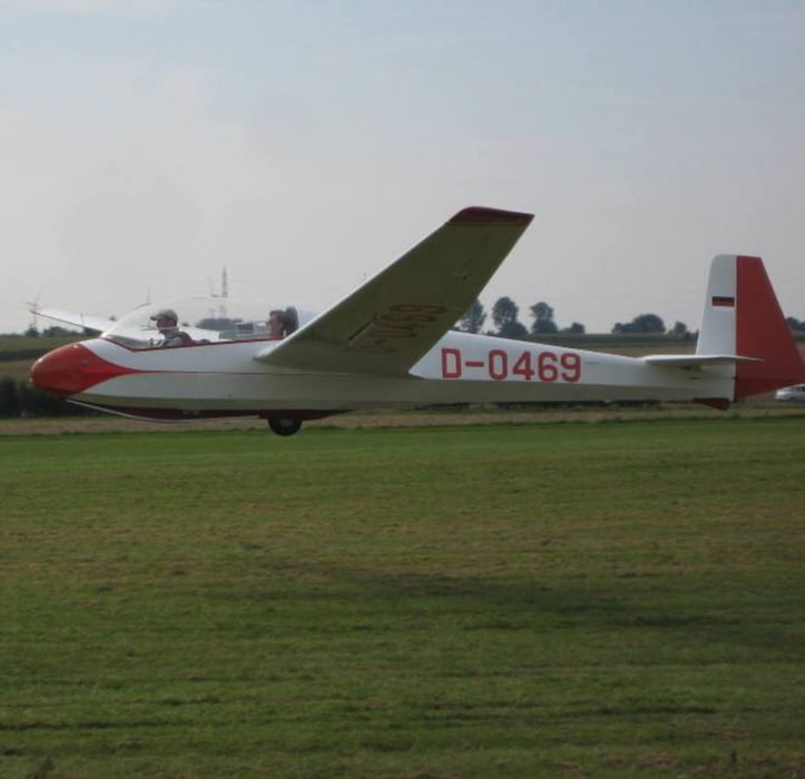
In Mönchengladbach-Güdderath geht´s los in Richtung Wickrath. Wir fahren durch den Schloßpark, immer an der Niers, vobei am neuen Schwimmbad in Richtung Wickrathberg. Weiter geht es an der Niers entlang, unter der Autobahn nach Wanlo. Wir streifen Wanlo und fahren am Segelflugplatz vorbei nach Herrath. Hier geht es durch offene Felder über Buchholz nach Genholland, wo wir scharf rechts abbiegen, und die Heimreise nach Wickrath antreten. Am Rande von Wickrath biegen wir links ab und umfahren den Ortskern großräumig in Richtung Geistenbeck. Wir überqueren die 4-spurige Straße (Reststrauch) und fahren wieder ins Feld, wo wir ein Stück neben der A61 herfahren, bevor wir wieder an der Niers entlang nach Güdderath, zu unserem Ausgangspunkt fahren.
Tour gallery
Tour map and elevation profile
Minimum height 99999 m
Maximum height -99999 m
More about the tour author
|
|
Pelle58 |
Comments

GPS tracks
Trackpoints-
GPX / Garmin Map Source (gpx) download
-
TCX / Garmin Training Center® (tcx) download
-
CRS / Garmin Training Center® (crs) download
-
Google Earth (kml) download
-
G7ToWin (g7t) download
-
TTQV (trk) download
-
Overlay (ovl) download
-
Fugawi (txt) download
-
Kompass (DAV) Track (tk) download
-
Track data sheet (pdf) download
-
Original file of the author (gpx) download
More about the tour author
|
|
Pelle58 |
Add to my favorites
Remove from my favorites
Edit tags
Open track
My score
Rate