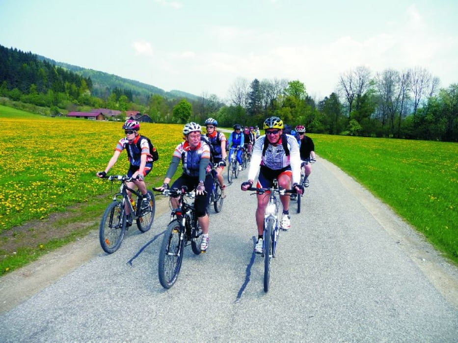
Diese 2-tägige Radtour beschränkt sich auf die kulturelle Mitte des bedeutensten steirischen Flusses, der salzburgischen Lungau entspringt und danach in weiten Bögen das grüne Herz Österreich durchfließt. Ausgangspunkt der Reise ist die alte Handelsstadt Bruck an der Mur mit ihrer bezaubernden Altstadt. Die Landeshauptstadt der Steiermark ist Graz, eine Kultur- und Universitäts-Stadt an der Schnittstelle zwischen der gebirgigen Obersteiermark und dem mediteranem Flair des Südens. Romantische Weinberge und Obstplantagen bestimmen den Charakter der Landschaft. Die kulinarische Leichtigkeit des Seins rund um Apfel, Wein und Kürbis prägt die kreative Küche. Lassen Sie sich ein auf dieses Abenteuer für alle Sinne.
Further information at
http://www.eliteradtours.atTour gallery
Tour map and elevation profile
Comments

1.Tag: Bruck/Mus - Unterpremstetten (94 km)
Bis Peggau ist das Programm mit der blauen Strecke ident. Danach führt Sie eine Tourvariante entlang des Stübingbaches nach St. Pankrazen. Entlang des Liebochbaches rollen Sie hinunter direkt nach Unterpremstetten.
2.Tag: Unterpremstetten - Gamlitz (82 km)
Durch das mittelsteirische Hügelland radeln Sie über Stainz, Bad Gams und Deutschlandsberg über die Windischen Bühel nach Gamlitz.
GPS tracks
Trackpoints-
GPX / Garmin Map Source (gpx) download
-
TCX / Garmin Training Center® (tcx) download
-
CRS / Garmin Training Center® (crs) download
-
Google Earth (kml) download
-
G7ToWin (g7t) download
-
TTQV (trk) download
-
Overlay (ovl) download
-
Fugawi (txt) download
-
Kompass (DAV) Track (tk) download
-
Track data sheet (pdf) download
-
Original file of the author (gpx) download


