Login

Forgotten password?

Cookies have to be accepted!
Your browser's cookie functionality is disabled. Please enable this functionality.

Not a member yet?

Register now
Login

Available for registred users only

Log in to use this feature.

Forgotten password?

Cookies have to be accepted!
Your browser's cookie functionality is disabled. Please enable this functionality.

Not a member yet?

Register now
Filter
Categories
Advanced filters
  • Distance (km)
  • Height
Save filters Reset filter

TrackRank

QRCode

Technical data

Distance34,4 km Height1094 m Way down1092 m Duration02:30 h:m Date28.07.2010
Scores Author User Landscape Fun factor Fitness Technique

Statistics

839 Views 1 Score 135 Downloads 5.00 Average
Rate
  • Track data sheet
  • Directions
  • Downloads

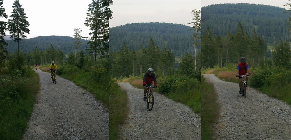
Von Lam aus über Berghäusl und die Bayerwaldloipe zum LL-Zentrum Scheiben. Weiter über Brennes-Sattel hinauf zum Arberschutzhaus. Rückweg über kleinen Arbersee wieder nach Lam.

Further information at

http://de.wikipedia.org/wiki/Gro%C3%9Fer_Arber

Tour gallery

Tour map and elevation profile

  • Open Street Map
  • Google
Minimum height 522 m Maximum height 1366 m Detailed view

More about the tour author

grenz-pfad-fahrer
Member since 2009

Send private message

Comments

Dodinho on 10.06.2014

zu empfehlen

sehr coole Tour. über Forstwege 1000 hm bergauf und über trails, forstwege und straße bergab. kurz nach beginn der abfahrt sind wir den steilen aber fahrbaren wanderpfad über die skipiste zur lamer bergwachthütte. etwas spannender zu fahren als über die steilen forststraßen wieder bergab. danach wie angegeben zum kleinen arbersee (bester trailabschnitt). nach dem kleinen arbersee sind wir nicht die teerstraße, sondern links paralell dazu das ausgetrocknete bachbett bis zur forststraße und dann rechts wieder auf die straße. ab da könnte man bergab wohl noch den ein oder anderen trail einbauen, da hab ich aber auch keinen mehr gekannt. alles in allem sehr tolle runde!

Start und Ziel ist das Schul- und Sportzentrum Lam mit ausreichend Parkmöglichkeiten.

GPS tracks

Trackpoints
  • GPX / Garmin Map Source (gpx) download
  • TCX / Garmin Training Center® (tcx) download
  • CRS / Garmin Training Center® (crs) download
  • Google Earth (kml) download
  • G7ToWin (g7t) download
  • TTQV (trk) download
  • Overlay (ovl) download
  • Fugawi (txt) download
  • Kompass (DAV) Track (tk) download
  • Track data sheet (pdf) download
  • Original file of the author (gpx) download

More about the tour author

grenz-pfad-fahrer
Member since 2009

Send private message
Share track
Add to my favorites
Remove from my favorites
Edit tags
My score
Rate
Track: Lam - Arberschutzhaus
Type: Mountain bike
Distance: 34,4 km
Evaluated on:
Duration:
Day(s)
Hour(s)
Minute(s)
Score: Landscape Fun factor Fitness Technique