


Nette kleine Feierabendrunde.
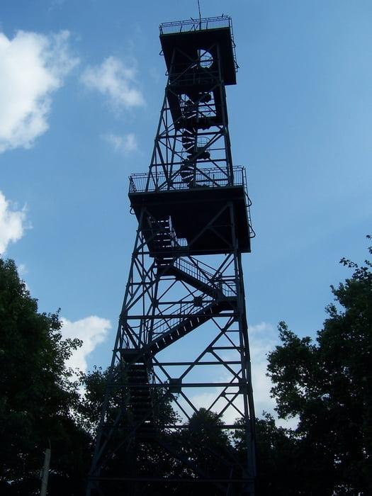
Leider ist der stählerne Aussichtsturm nicht an jedem Tag geöffnet. Ich musste also auf dem Boden bleiben. Trotzdem war der Rundweg schön.
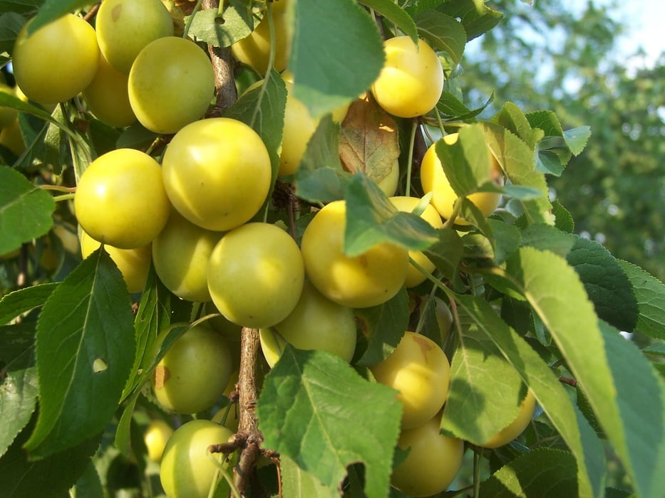
An dem asphaltierten Weg der von der Kreuzung nördlich der alten Deponie, jetzt mit Sonnenkollektoren bewachsen, nach Bohra führt, stehen jede Menge Kirsch- und Mirabellenbäume.
Als ich da langgieng konnte ich mir nach Herzenslust den Magen vollhauen.
Ich meine, dass gerade in nicht typischen Gegenden eine kleine Wanderung besondere Einblicke in die örtliche Landschaft erlaubt.
Viel Spass
Further information at
http://www.bellevuehotel.de/Tour gallery

Tour map and elevation profile
Minimum height 203 m
Maximum height 276 m
More about the tour author
|
|
Pheinz |
Comments

Startpunktdirekt am Hotel Bellevue.
Es ist übrigens auch ein Bett &Bike Hotel.
GPS tracks
Trackpoints-
GPX / Garmin Map Source (gpx) download
-
TCX / Garmin Training Center® (tcx) download
-
CRS / Garmin Training Center® (crs) download
-
Google Earth (kml) download
-
G7ToWin (g7t) download
-
TTQV (trk) download
-
Overlay (ovl) download
-
Fugawi (txt) download
-
Kompass (DAV) Track (tk) download
-
Track data sheet (pdf) download
-
Original file of the author (gpx) download
More about the tour author
|
|
Pheinz |
Add to my favorites
Remove from my favorites
Edit tags
Open track
My score
Rate