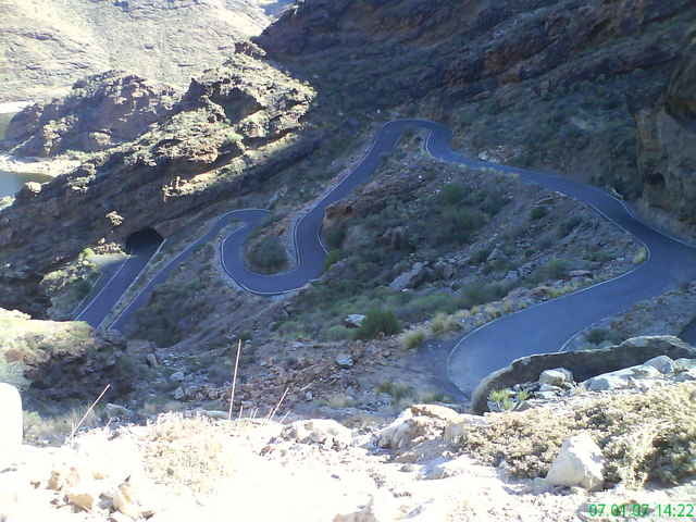
Playa del ingles - Mogan - San Nicolas - Ayacata - San Bartolome - Fataga - Playa del Ingles
Tour gallery
Tour map and elevation profile
Minimum height 14 m
Maximum height 1424 m
Comments
GPS tracks
Trackpoints-
GPX / Garmin Map Source (gpx) download
-
TCX / Garmin Training Center® (tcx) download
-
CRS / Garmin Training Center® (crs) download
-
Google Earth (kml) download
-
G7ToWin (g7t) download
-
TTQV (trk) download
-
Overlay (ovl) download
-
Fugawi (txt) download
-
Kompass (DAV) Track (tk) download
-
Track data sheet (pdf) download
-
Original file of the author (gpx) download
Add to my favorites
Remove from my favorites
Edit tags
Open track
My score
Rate


Das Tal der Männertränen
Die Route so nicht fahrbar!