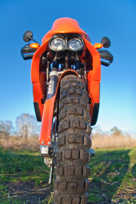
Ein Tagesausflug von Berlin nach Rerik (Ostseebad). Die Tour führt ausschließlich über Nebenstraßen. Teilweise führt die Route über Kopfsteinpflaster (Nix für Supersportler). Die Route sollte mit einer Reiseenduro oder einen Tourer gefahren werden. Wer keine Kurven mag sollte die Bundesstraße nehmen!!!!!!
Auf der Strecke bzw. in Rerik gibt es jede Menge Rast und Schlafmöglichkeiten.
Further information at
http://www.rerik.de/Tour map and elevation profile
Minimum height -2 m
Maximum height 113 m
Comments

GPS tracks
Trackpoints-
GPX / Garmin Map Source (gpx) download
-
TCX / Garmin Training Center® (tcx) download
-
CRS / Garmin Training Center® (crs) download
-
Google Earth (kml) download
-
G7ToWin (g7t) download
-
TTQV (trk) download
-
Overlay (ovl) download
-
Fugawi (txt) download
-
Kompass (DAV) Track (tk) download
-
Track data sheet (pdf) download
-
Original file of the author (gpx) download
Add to my favorites
Remove from my favorites
Edit tags
Open track
My score
Rate

