

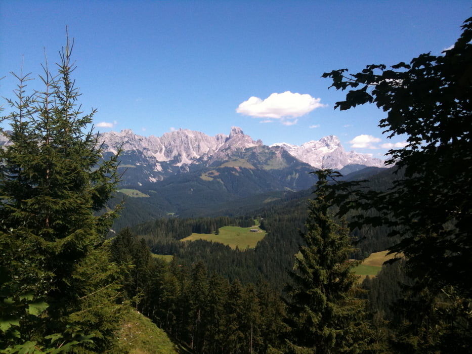
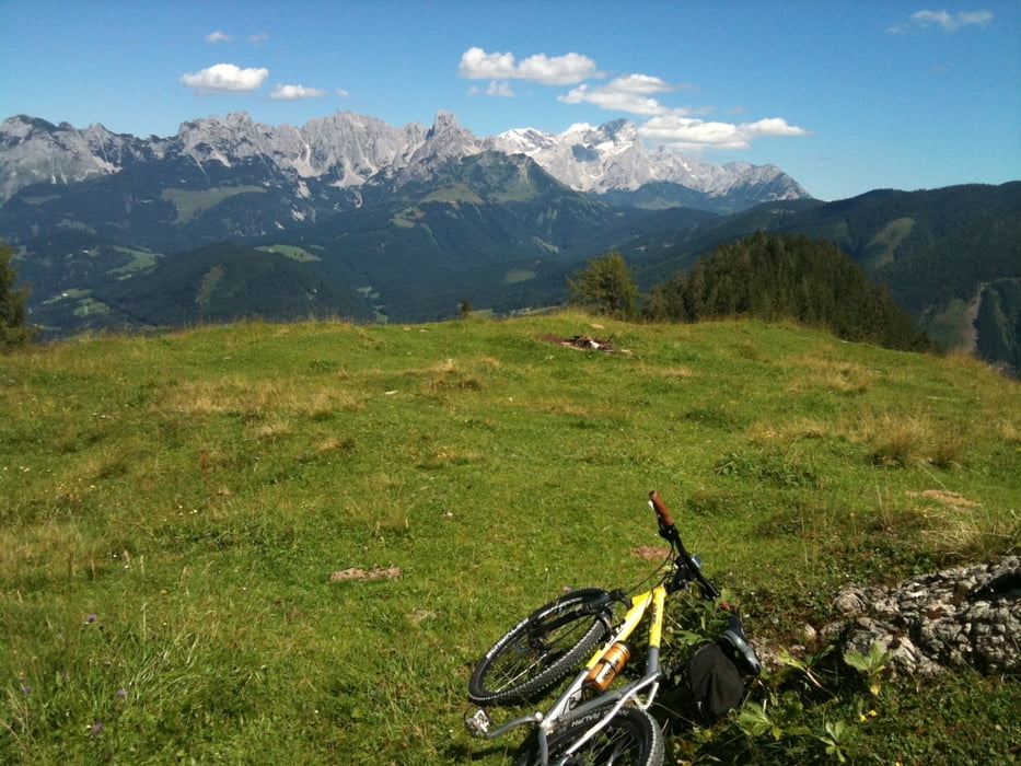
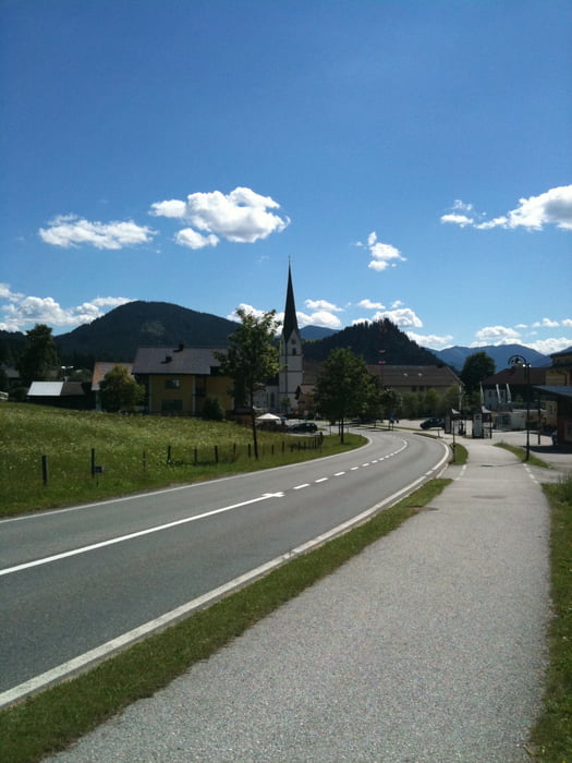
Eine Landschaftlich wunderschöne Route für für einen Kurzen Trip auf eine gute Almjause.
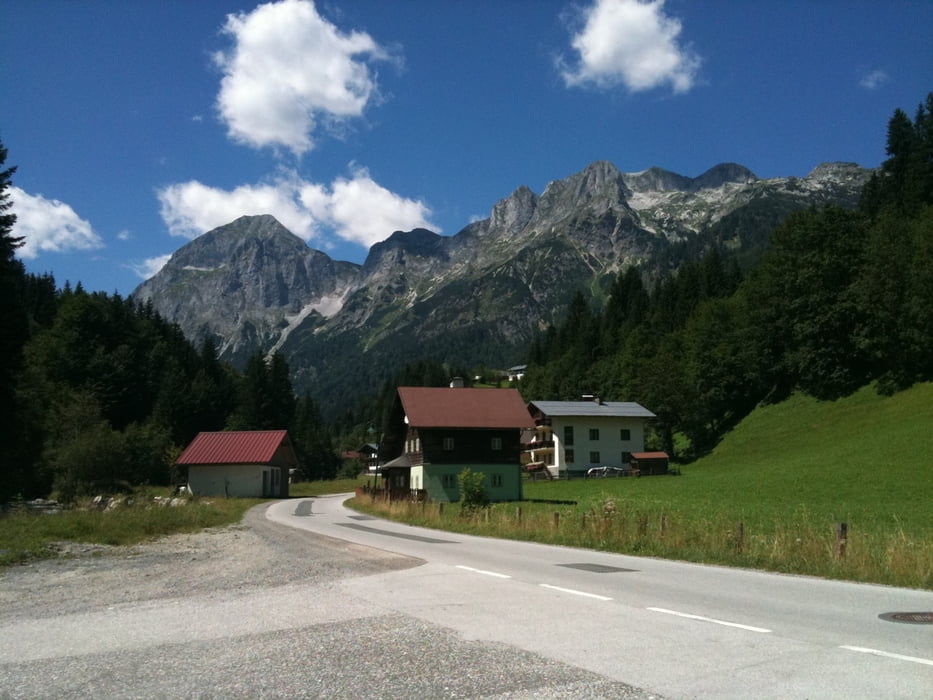
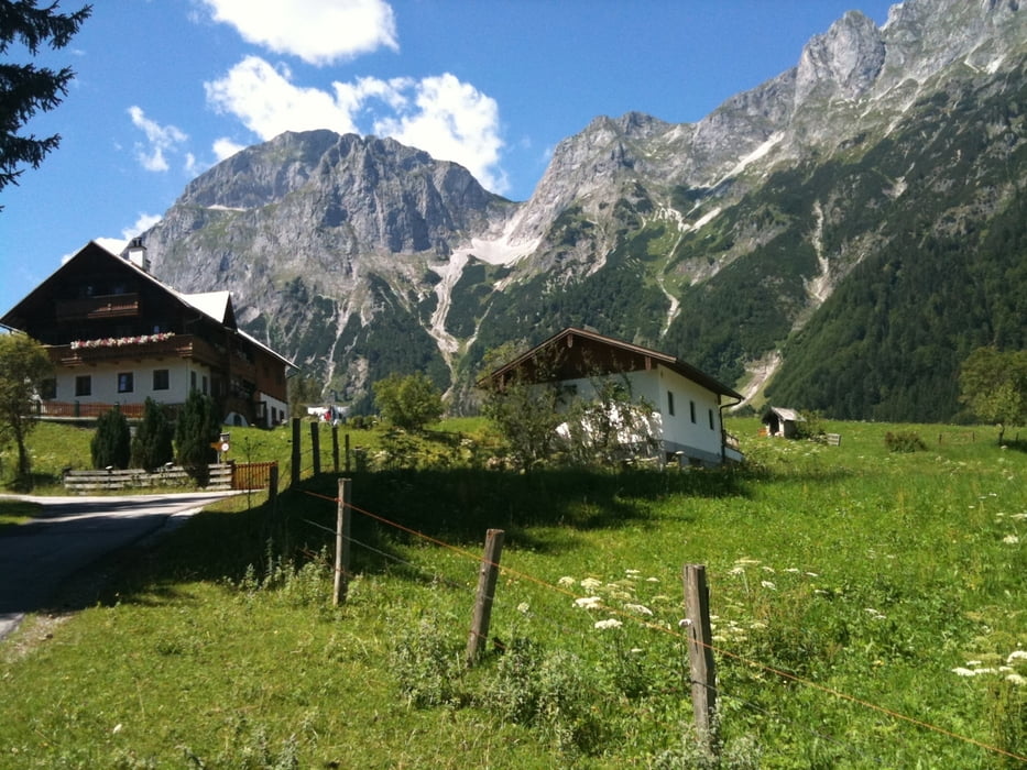
Start in St. Martin am Tennengebirge richtung Lungötz links abbiegen ins Lammertal.
Nach 3km links richtung Alpengasthof Lämmerhof weiter der Beschilderung folgen zum Oberharreit und zur Karalm oder Schöberlalm wo man ausgezeichnete Käsespezialitäten serviert bekommt.
Sehr gut ausgeschildert.
Further information at
http://www.aktivdorf.comTour gallery
Tour map and elevation profile
Minimum height 872 m
Maximum height 1497 m
More about the tour author
|
|
biker_2010 |
Comments

Von der Tauernautobahn kommend richtung Villach abfahrt Hüttau / Lammertal.
Rechts abbiegen 4 km nach St. Martin am Tennengebirge.
Parkplatz am Seepark im Zentrum von St. Martin.
GPS tracks
Trackpoints-
GPX / Garmin Map Source (gpx) download
-
TCX / Garmin Training Center® (tcx) download
-
CRS / Garmin Training Center® (crs) download
-
Google Earth (kml) download
-
G7ToWin (g7t) download
-
TTQV (trk) download
-
Overlay (ovl) download
-
Fugawi (txt) download
-
Kompass (DAV) Track (tk) download
-
Track data sheet (pdf) download
-
Original file of the author (gpx) download
More about the tour author
|
|
biker_2010 |
Add to my favorites
Remove from my favorites
Edit tags
Open track
My score
Rate