Login

Forgotten password?

Cookies have to be accepted!
Your browser's cookie functionality is disabled. Please enable this functionality.

Not a member yet?

Register now
Login

Available for registred users only

Log in to use this feature.

Forgotten password?

Cookies have to be accepted!
Your browser's cookie functionality is disabled. Please enable this functionality.

Not a member yet?

Register now
Filter
Categories
Advanced filters
  • Distance (km)
  • Height
Save filters Reset filter

TrackRank

QRCode

Technical data

Distance56,4 km Height907 m Way down1524 m Duration06:00 h:m Date02.08.2010
Scores Author Landscape Fun factor Fitness Technique

Statistics

1725 Views 1 Score 64 Downloads 4.00 Average
Rate
  • Track data sheet
  • Directions
  • Downloads

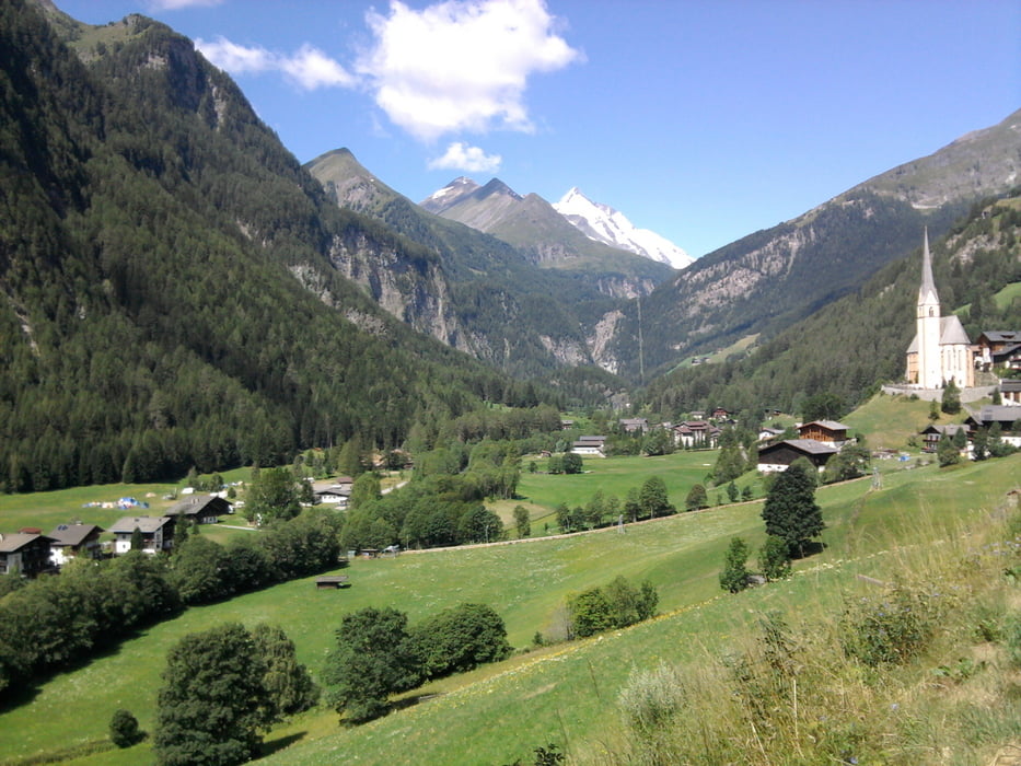
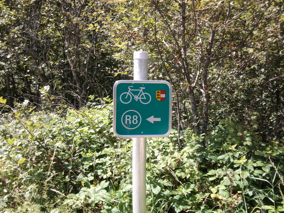
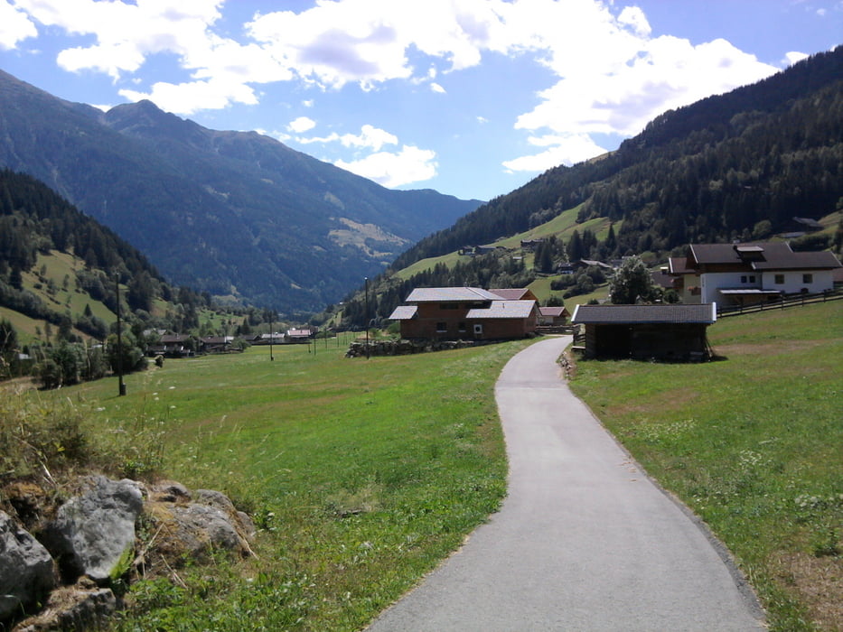
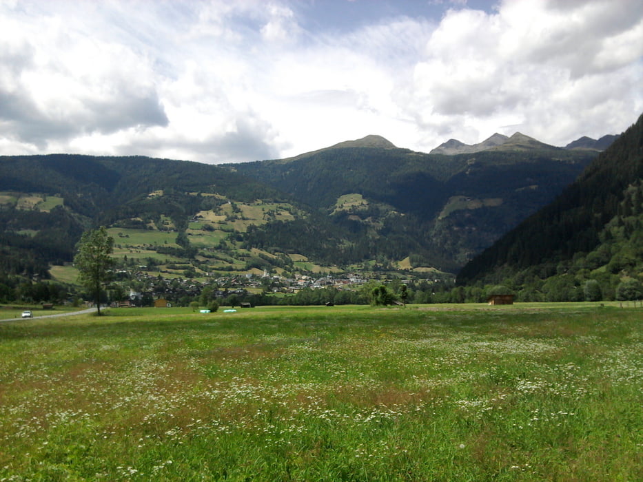
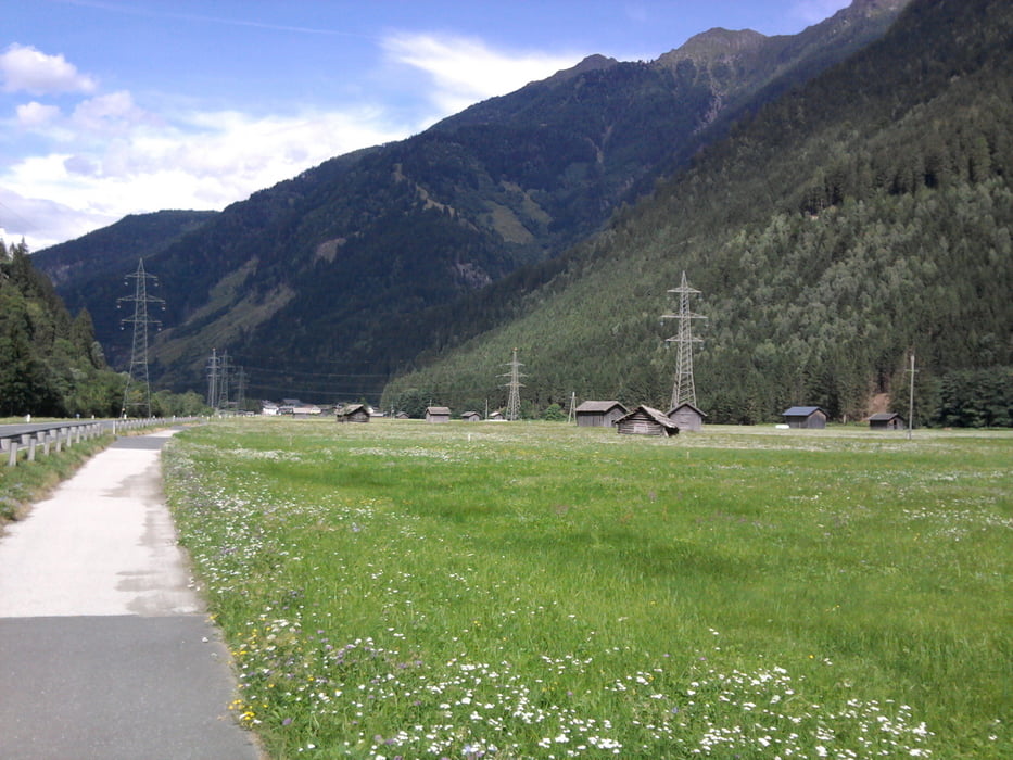
Ich hatte mir während des Urlaubs in Obervellach bei ClubAktivMölltal in Flattach ein Mountainbike geliehen und bin mit dem Bus nach Heiligenblut. Meist haben die Busse einen Radanhänger dabei oder man legt das Rad in den Seitenkofferraum! Der Start des Radweges ist etwas unterhalb von Heiligenblut an einer Tankstelle rechts ab. Der Weg ist gut ausgeschildert (R8), meist asphaltiert und sonst wenig Schotterwege, vor allem an der Möll. Anfangs nur bergab, später nach dem Knick hinter Winklern immer wieder mal kleine Steigungen, um die Bundesstraße zu vermeiden, aber nicht schlimm. Die Landschaft ist so phantastisch, dass man alle 200 m ein Foto machen möchte. Der Ausflug bei Witschdorf zum Marterl war für mich zu steil, ist mehr was für die Profis.  Die Radlrast bei Brenntratten kann ich empfehlen, nette Bedienung und in etwa auf der Mitte der Strecke zurück nach Flattach. Ein wirklich schöner Radweg durch das Mölltal.

Tour gallery

Tour map and elevation profile

  • Open Street Map
  • Google
Minimum height 704 m Maximum height 1367 m Detailed view

More about the tour author

Graf_Geo
Member since 2008

Send private message

Comments

Garibaldi on 08.06.2012

R8

Es war eine sehr schöne Tour mit der Familie. Durchaus sportlich. Leider ist in Heiligenblut der Wanderweg zum R8 nicht ausgeschildert und die Straße nicht jedermanns Sache.

GPS tracks

Trackpoints
  • GPX / Garmin Map Source (gpx) download
  • TCX / Garmin Training Center® (tcx) download
  • CRS / Garmin Training Center® (crs) download
  • Google Earth (kml) download
  • G7ToWin (g7t) download
  • TTQV (trk) download
  • Overlay (ovl) download
  • Fugawi (txt) download
  • Kompass (DAV) Track (tk) download
  • Track data sheet (pdf) download
  • Original file of the author (gpx) download

More about the tour author

Graf_Geo
Member since 2008

Send private message
Share track
Add to my favorites
Remove from my favorites
Edit tags
My score
Rate
Track: Glockner-Radweg R8
Type: Trekkingbike
Distance: 56,4 km
Evaluated on:
Duration:
Day(s)
Hour(s)
Minute(s)
Score: Landscape Fun factor Fitness Technique