


Tourstart- und Ziel ist der Parkplatz oberhalb des Kirchenwirtes in Leogang
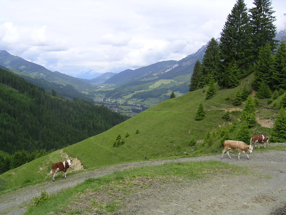
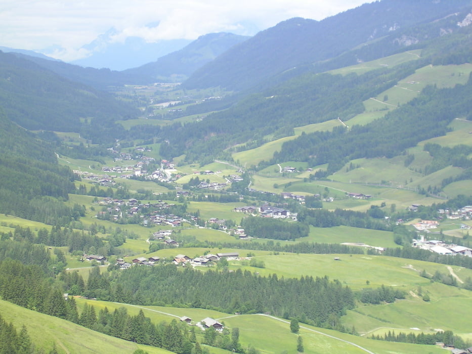
Steil aufwärts zur Franzlalm - kurze Schiebepassage über Kuhweide - danch weiter zum Berggasthof Biberg. Zurück an der Sommerrodelbahn vorbei über Trail (nur schwer fahrbar - eher Schiebepassage) L164 zwischen Hirnreit und Uttenhofen überqueren. Runde um Leogang bis Gondelstation Asitz. Zurück am Hotel Krallerhof vorbei über Pirzbichl zum Ausgangspunkt.
Further information at
http://www.bike-pinzgau.atTour gallery
Tour map and elevation profile
Minimum height 748 m
Maximum height 1422 m
More about the tour author

|
Comments

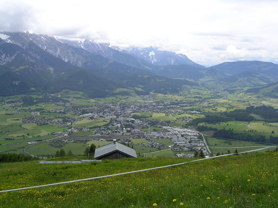
über die L164 aus Richtung Fieberbrunn oder Saalfelden kommend bis Dorfmitte Leogang. Zur Kirche abbiegen. Parkplatz oberhalb der Kirche
GPS tracks
Trackpoints-
GPX / Garmin Map Source (gpx) download
-
TCX / Garmin Training Center® (tcx) download
-
CRS / Garmin Training Center® (crs) download
-
Google Earth (kml) download
-
G7ToWin (g7t) download
-
TTQV (trk) download
-
Overlay (ovl) download
-
Fugawi (txt) download
-
Kompass (DAV) Track (tk) download
-
Track data sheet (pdf) download
-
Original file of the author (gpx) download
More about the tour author
|
|
Add to my favorites
Remove from my favorites
Edit tags
Open track
My score
Rate