Login

Forgotten password?

Cookies have to be accepted!
Your browser's cookie functionality is disabled. Please enable this functionality.

Not a member yet?

Register now
Login

Available for registred users only

Log in to use this feature.

Forgotten password?

Cookies have to be accepted!
Your browser's cookie functionality is disabled. Please enable this functionality.

Not a member yet?

Register now
Filter
Categories
Advanced filters
  • Distance (km)
  • Height
Save filters Reset filter

TrackRank

QRCode

Technical data

Distance6,0 km Height42 m Way down30 m Duration01:20 h:m Date03.08.2010
Scores Author Landscape Fun factor Fitness Technique

Statistics

224 Views Scores 38 Downloads Average
Rate
  • Track data sheet
  • Directions
  • Downloads


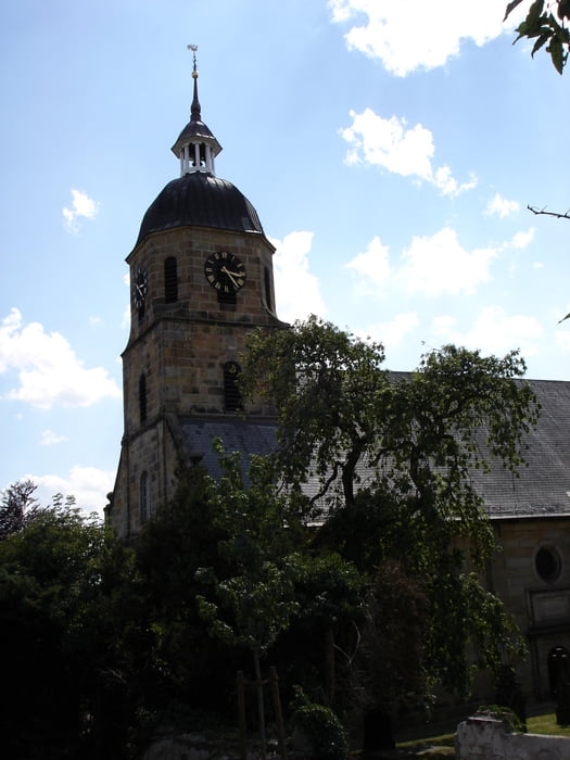
Diese Wanderung geht zum größten Teil durch verschiedene Wohngebiete durch Bad Bentheim. In der Wanderkarte von Bad Bentheim ist diese Route mit einer 2 gekennzeichnet und nennt sich Westlicher Rundweg.


Tour gallery

Tour map and elevation profile

  • Open Street Map
  • Google
Minimum height 27 m Maximum height 63 m Detailed view

More about the tour author

rödivomsee
Member since 2008

Send private message

Comments


Parkmöglichkeit besteht in der Tiefgarage die sich im Ortskern von Bad Bentheim befindet.

GPS tracks

Trackpoints
  • GPX / Garmin Map Source (gpx) download
  • TCX / Garmin Training Center® (tcx) download
  • CRS / Garmin Training Center® (crs) download
  • Google Earth (kml) download
  • G7ToWin (g7t) download
  • TTQV (trk) download
  • Overlay (ovl) download
  • Fugawi (txt) download
  • Kompass (DAV) Track (tk) download
  • Track data sheet (pdf) download
  • Original file of the author (gpx) download

More about the tour author

rödivomsee
Member since 2008

Send private message
Share track
Add to my favorites
Remove from my favorites
Edit tags
My score
Rate
Track: Westlicher Rundweg
Type: Hiking
Distance: 6,0 km
Evaluated on:
Duration:
Day(s)
Hour(s)
Minute(s)
Score: Landscape Fun factor Fitness Technique