Von Rheinbach nach Tomburg
Die Tour startet in Rheinbach am Parkplatz am Freizeitbad.
Von hier geht es erstmal den Feldweg hoch in den Wald, und wir folgen dem breiten Weg leicht rechts. Den Rest muss nun das GPS übernehmen. Die Tour wird gegen den Uhrzeigersinn gefahren.
Die Tour führt über Hardt-Sürst, Queckenberg (Madbachtalsperre), Kurtenberg, Todenfeld, Burgruine Wormersdorf und das neue Waldhotel zurück zum Startpunkt in Rheinbach.
Bei guter Sicht kann man von der Burgruine aus bis zum Petersberg in Bonn sehen.
Als Einkehrmöglichkeit gibt es das WaldEck, Zu den 4 Winden (mit kleinem Biergarten und selbst gemachtem Kuchen) oder im letzten Drittel der Tour das am 01.08.2010 neu eröffnete Waldhotel mit seinem gehobenem Charme, dass mir auch gut gefallen hat.
http://www.waldhotel-rheinbach.de/
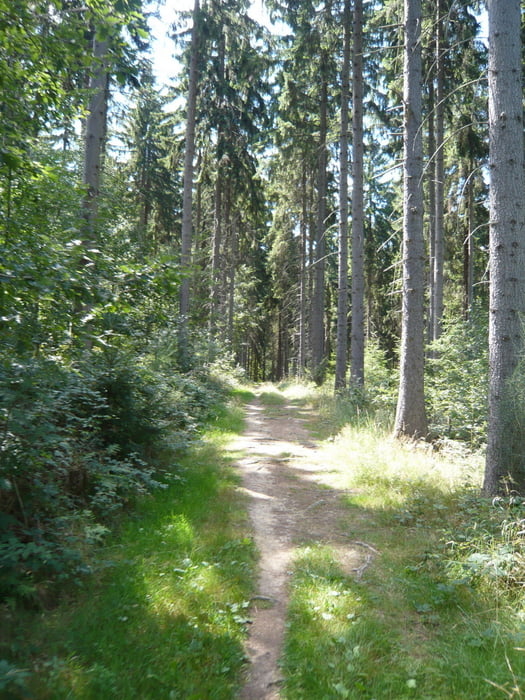
Die Tour führt größtenteils auf Wald und Feldwegen und hat ein paar schöne Singletrails und Anstiege in sich.
Further information at
http://www.waldhotel-rheinbach.de/Tour gallery
Tour map and elevation profile
Comments

GPS tracks
Trackpoints-
GPX / Garmin Map Source (gpx) download
-
TCX / Garmin Training Center® (tcx) download
-
CRS / Garmin Training Center® (crs) download
-
Google Earth (kml) download
-
G7ToWin (g7t) download
-
TTQV (trk) download
-
Overlay (ovl) download
-
Fugawi (txt) download
-
Kompass (DAV) Track (tk) download
-
Track data sheet (pdf) download
-
Original file of the author (gpx) download


