


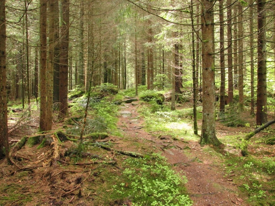
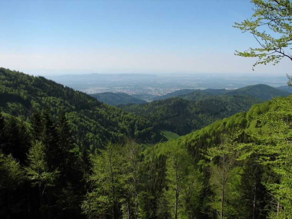
Die Tour ist als 4-Tages-Tour durch den Schwarzwald gedacht und wurde auch von mir abgefahren. Landschaftlich ein Traum - Technisch bei einzelnen Passagen recht anspruchsvoll aber für den Durchschnittsmountainbiker machbar (zu allen schwierigen Passagen gibt es eigentlich auch Ausweichrouten).
Den Schlenker nach Bonndorf am Ende des dritten Tages kann man sicher auch anders planen - ich hab dort einen kleinen Besuch eingeplant...
Tour gallery
Tour map and elevation profile
Minimum height 239 m
Maximum height 1491 m
More about the tour author

|
omolas1 |
Comments

Start der Tour war der Bahnhof von Pforzheim - Ende der Hauptbahnhof von Freiburg
GPS tracks
Trackpoints-
GPX / Garmin Map Source (gpx) download
-
TCX / Garmin Training Center® (tcx) download
-
CRS / Garmin Training Center® (crs) download
-
Google Earth (kml) download
-
G7ToWin (g7t) download
-
TTQV (trk) download
-
Overlay (ovl) download
-
Fugawi (txt) download
-
Kompass (DAV) Track (tk) download
-
Track data sheet (pdf) download
-
Original file of the author (gpx) download
More about the tour author
|
|
omolas1 |
Add to my favorites
Remove from my favorites
Edit tags
Open track
My score
Rate