


Die Tour heißt " Druidensteig für Mountainbiker " weil wir die Strecke Mtbfreundlich gestaltet
haben. Unnötige Schleifen ( z. B. nach Betzdorf runter ) wurden ausgelassen. Aber auch so ist
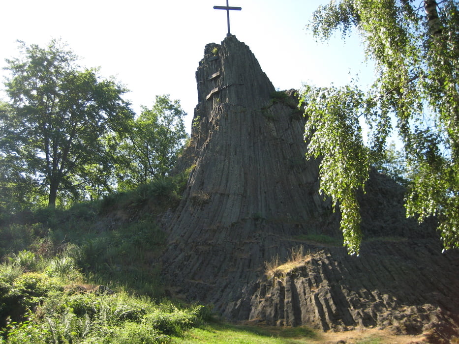
die Tour nicht ohne. Sie beginnt natürlich an der Freusburg und führt uns über Druidenstein,
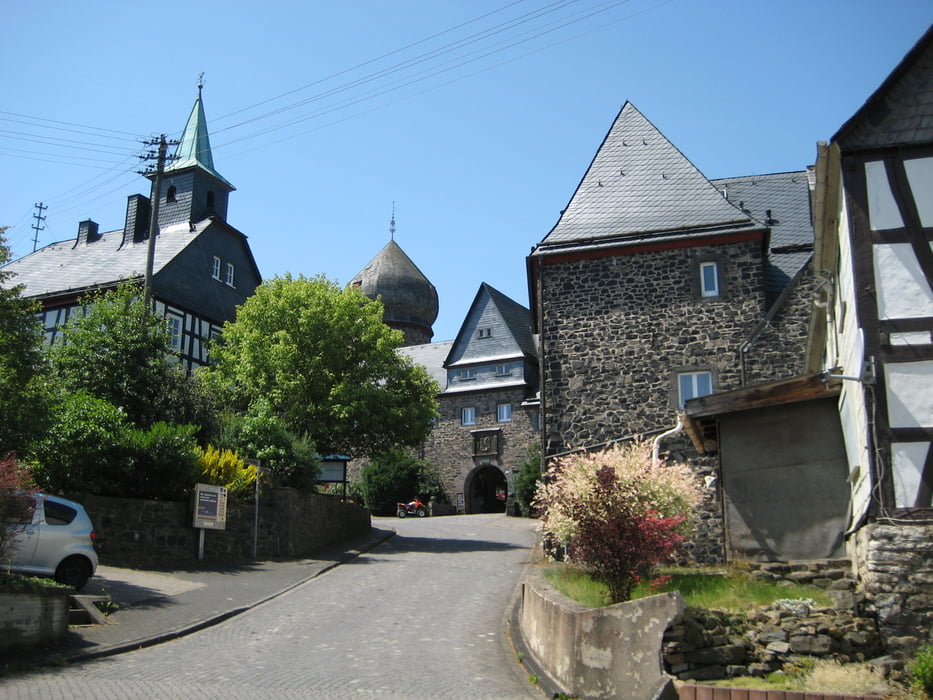
Herdorf, Daaden, Friedewald (schönes Schloss ),Elkenroth, Steineroth, Steinebach, Limbach
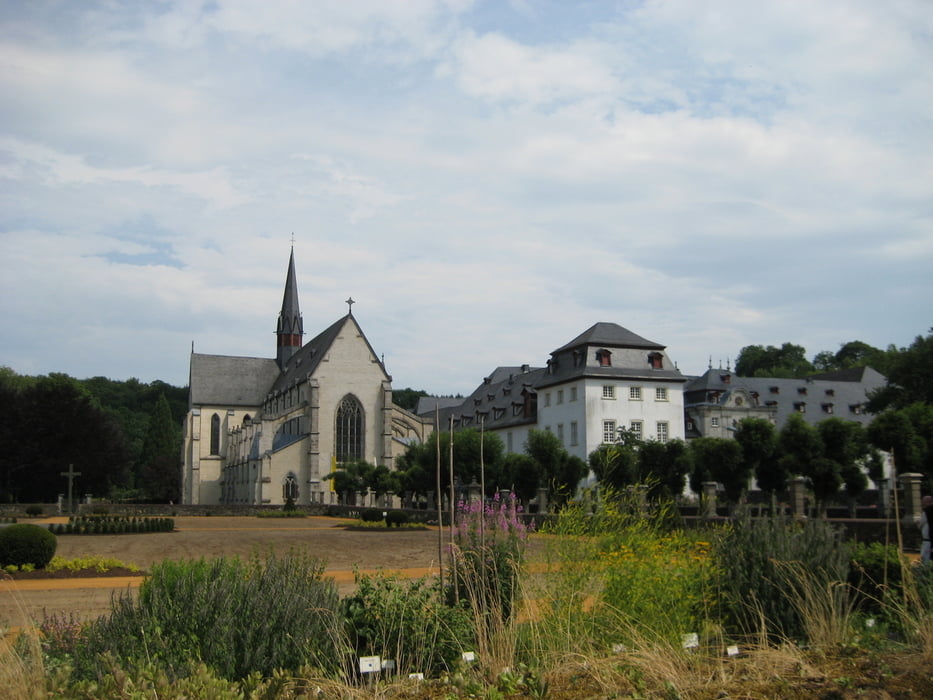
nach Marienstatt ( Kloster und Klosterbrauerei mit Gaststätte ).
Nachtrag: Da es wieder einen Ottoturm gibt, sollte die Tour auch diesen streifen. Einfach dem
Druidensteig oberhalb von Katzenbach spitzwinklig nach links folgen.
Tour gallery

Tour map and elevation profile
Minimum height 197 m
Maximum height 509 m
More about the tour author

|
groedder |
Comments
GPS tracks
Trackpoints-
GPX / Garmin Map Source (gpx) download
-
TCX / Garmin Training Center® (tcx) download
-
CRS / Garmin Training Center® (crs) download
-
Google Earth (kml) download
-
G7ToWin (g7t) download
-
TTQV (trk) download
-
Overlay (ovl) download
-
Fugawi (txt) download
-
Kompass (DAV) Track (tk) download
-
Track data sheet (pdf) download
-
Original file of the author (gpx) download
More about the tour author
|
|
groedder |
Add to my favorites
Remove from my favorites
Edit tags
Open track
My score
Rate
Tour #64698: Druidensteig für Mountainbiker