


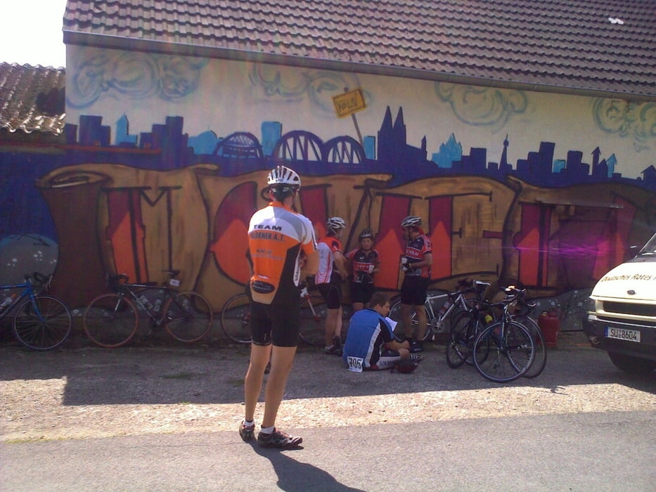
Dies ist der "Klassiker" in Lohmar vom 14.8.2010
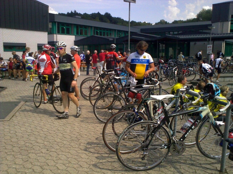
Die RTF "Täler und Höhen" wurde zum 27. Mal ausgerichtet. Strecken über 45, 71, 111 und 154 km sprachen alle sportlichen Radfahrer an.
Je nach Kondition waren auf den Rundfahrten zwischen 300 und 1600 Höhenmetern zu bewältigen.
Wir hatten uns für die 111 Kilometer und 1200 Höhenmeter entschieden und wurden nicht enttäuscht. Bei bestem Wetter, zeigt sich das Bergische Land von seiner besten Seite.
Die Rtf war sehr gut Organisiert, Essen und Trinken wurden reichlich Angeboten. Die Strecke war sehr gut ausgeschildert. Nach der Runde wurden kalte Getränke,Kaffe und Kuchen angeboten.
Further information at
http://www.hildener-at.de/index.php?option=com_content&view=article&id=7&Itemid=26Tour gallery


Tour map and elevation profile
Minimum height 45 m
Maximum height 332 m
More about the tour author
|
|
MarcusVergin |
Comments

GPS tracks
Trackpoints-
GPX / Garmin Map Source (gpx) download
-
TCX / Garmin Training Center® (tcx) download
-
CRS / Garmin Training Center® (crs) download
-
Google Earth (kml) download
-
G7ToWin (g7t) download
-
TTQV (trk) download
-
Overlay (ovl) download
-
Fugawi (txt) download
-
Kompass (DAV) Track (tk) download
-
Track data sheet (pdf) download
-
Original file of the author (gpx) download
More about the tour author
|
|
MarcusVergin |
Add to my favorites
Remove from my favorites
Edit tags
Open track
My score
Rate