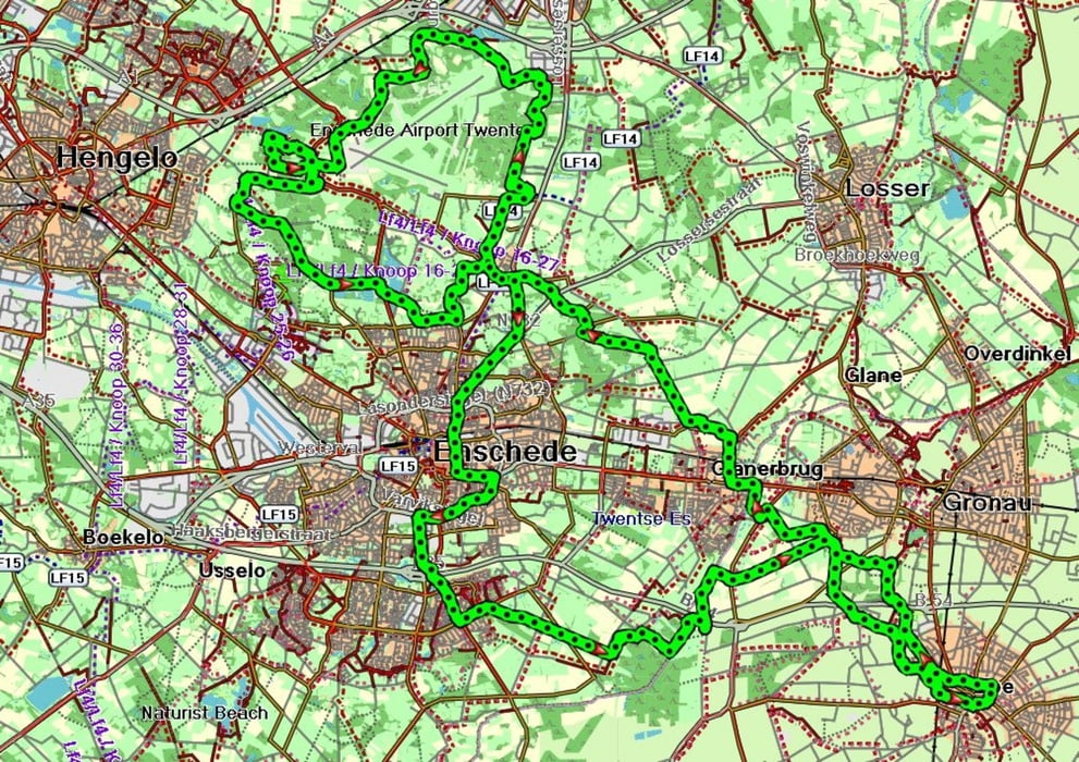
Von Epe geht es nach Lonneker in Holland. Dort geht es auf die ausgeschilderte MTB Route um den Flughafen Twente. Auf dem Rückweg machen wir noch einen Abstecher nach Enschede, und fahren dann durchs Amtsvenn zurück nach Epe.
Tour map and elevation profile
Minimum height 16 m
Maximum height 60 m
Comments

GPS tracks
Trackpoints-
GPX / Garmin Map Source (gpx) download
-
TCX / Garmin Training Center® (tcx) download
-
CRS / Garmin Training Center® (crs) download
-
Google Earth (kml) download
-
G7ToWin (g7t) download
-
TTQV (trk) download
-
Overlay (ovl) download
-
Fugawi (txt) download
-
Kompass (DAV) Track (tk) download
-
Track data sheet (pdf) download
-
Original file of the author (gpx) download
Add to my favorites
Remove from my favorites
Edit tags
Open track
My score
Rate

