

Start ist in der Nähe vom Bahnhof, dann durch die Innenstadt ( oder alternativ am Steinertor vorbei).
rauf zur Schwarzalm. gleich hinter der Schwarzalm geht ein kurzer aber flowiger Singletrail Richtung rechts weg ( kleine Schanze nach ein paar hundert Meter rechts). bei der nächsten Kreuzung nach links auf den Rehberger Rundwander weg, jetzt folgen einige Km Singletrail, bergauf und bergab.
dann wieder auf Asphalt angekommen gehts zum Waldhof und dann auf Forstwegen Richtung Norden. nach ein paar Km links abbiegen ( unscheinbar aber mit dem Navi nicht zu verfehen), dann folgt ein geiler Trail zur Schatzwand, hier evt Pause einlegen, dann gehts noch einen Trail runter mit einigen Stufen.
Zurück gehts dann auf Asphalt nach Krems.
Insgesamt eine Singeltrailoptimierte Strecke gleich bei Krems.
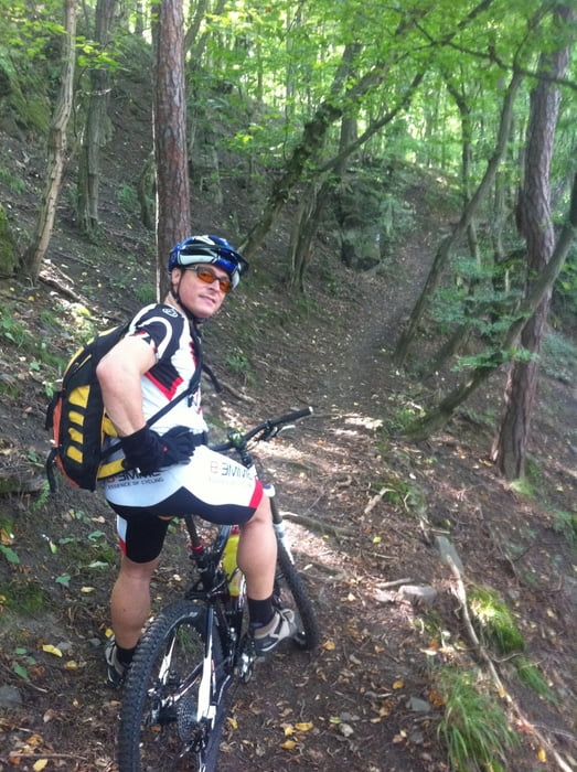
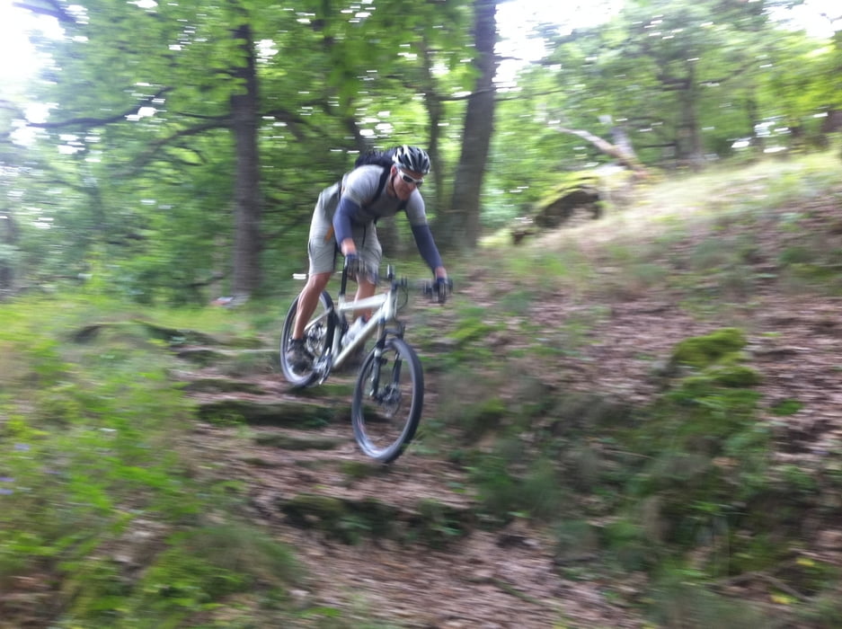
Tour gallery
Tour map and elevation profile
Minimum height 202 m
Maximum height 450 m
More about the tour author

|
ghostrider36 |
Comments

von der Bundesstraße in Krems abfahren und gleich in der Nähe des Bahnhofs parken.
GPS tracks
Trackpoints-
GPX / Garmin Map Source (gpx) download
-
TCX / Garmin Training Center® (tcx) download
-
CRS / Garmin Training Center® (crs) download
-
Google Earth (kml) download
-
G7ToWin (g7t) download
-
TTQV (trk) download
-
Overlay (ovl) download
-
Fugawi (txt) download
-
Kompass (DAV) Track (tk) download
-
Track data sheet (pdf) download
-
Original file of the author (gpx) download
More about the tour author
|
|
ghostrider36 |
Add to my favorites
Remove from my favorites
Edit tags
Open track
My score
Rate