


Einfache Tour durch die Eifel
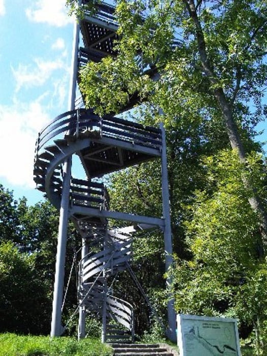
Die Tour führt auf den höchsten Berg in Düren - dem Burgberg bei Obermaubach
Die Tour ist sehr schon und einfach. Sie führt über weite Strecken am Stausee Obermaubach entland und durch dichten Wald. Es sind einige Steigungen zu bewältigen, die aber keine große Anstrengung bedürfen
Es gibt zahlreiche Biergärten, bei denen man Rast machen kann.
Tour gallery


Tour map and elevation profile
Minimum height 144 m
Maximum height 398 m
More about the tour author
|
|
MYSTERIOUSXL |
Comments

Autobahn A4 (Köln - Aachen) bis Düren. Durch Düren Richtung Nideggen, in Kreuzau rechts ab zum Stausee Obermaubach.
GPS tracks
Trackpoints-
GPX / Garmin Map Source (gpx) download
-
TCX / Garmin Training Center® (tcx) download
-
CRS / Garmin Training Center® (crs) download
-
Google Earth (kml) download
-
G7ToWin (g7t) download
-
TTQV (trk) download
-
Overlay (ovl) download
-
Fugawi (txt) download
-
Kompass (DAV) Track (tk) download
-
Track data sheet (pdf) download
-
Original file of the author (gpx) download
More about the tour author
|
|
MYSTERIOUSXL |
Add to my favorites
Remove from my favorites
Edit tags
Open track
My score
Rate