


Der Kurs führt einmal komplett um die Stadt Freudenberg herum.
Nicht immer sehr Anspruchsvoll, jedoch mit einigen schöne Streckenabschnitten. Hier wird an Ups und Downs alles geboten, schöne Abwechslung. Einige Passagen sind stark bewachsenen, hier bitte nicht beirren lassen, man kommt schon durch! ;-)
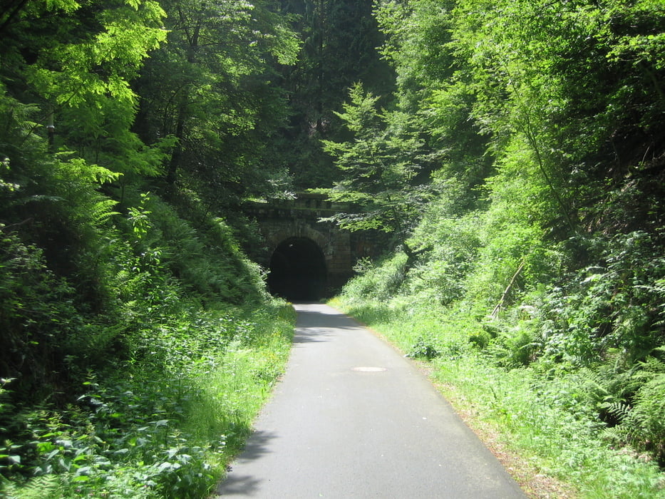
Die Strecke verläuft meines Erachtens zu 90% auf Waldwegen. Um ein bisschen Strasse kommt man leider nicht herum. Ein Stückchen Fahrradweg mit dem bekannten "Hohenhainer Eisenbahntunnel" gehört ebenfalls zur Strecke.
PS: Diese Tour is ursprünglich von jemand Anderem erstellt worden. Mit seiner Route jedoch zum Teil leider nicht mehr fahrbar. Diese Tour hier ist jetzt mit entsprechenden Änderungen gefahren.
Tour gallery
Tour map and elevation profile
Minimum height 322 m
Maximum height 521 m
More about the tour author
|
|
DISCO54 |
Comments

Start und Ziel ist auf der Freudenberger Wilhelmshöhe, am Parkplatz vor dem Waldhotel. Direkt an der A45 Auffahrt.
GPS tracks
Trackpoints-
GPX / Garmin Map Source (gpx) download
-
TCX / Garmin Training Center® (tcx) download
-
CRS / Garmin Training Center® (crs) download
-
Google Earth (kml) download
-
G7ToWin (g7t) download
-
TTQV (trk) download
-
Overlay (ovl) download
-
Fugawi (txt) download
-
Kompass (DAV) Track (tk) download
-
Track data sheet (pdf) download
-
Original file of the author (gpx) download
More about the tour author
|
|
DISCO54 |
Add to my favorites
Remove from my favorites
Edit tags
Open track
My score
Rate