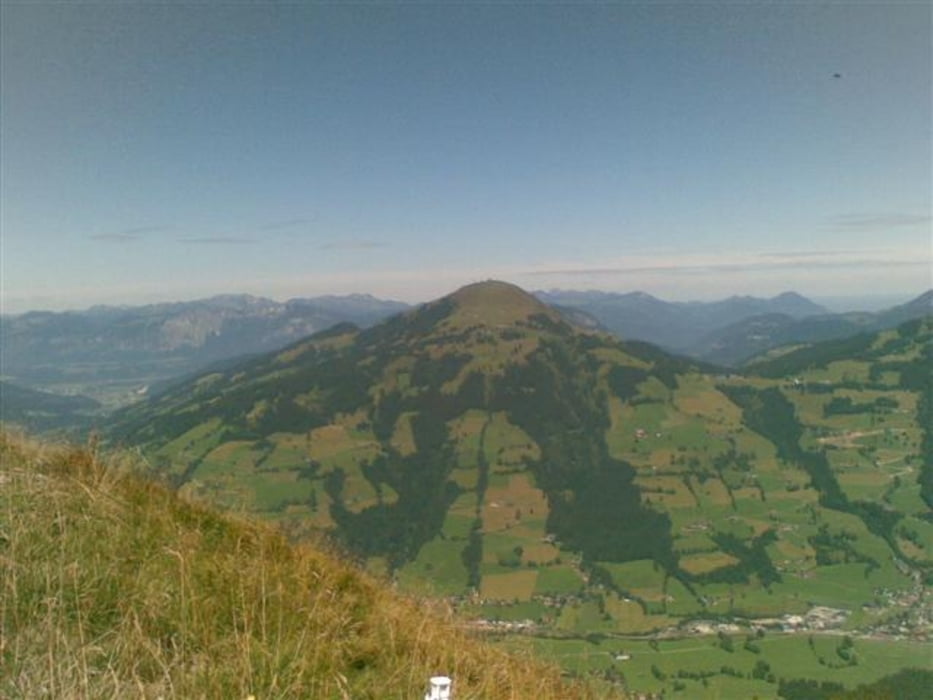
Wunderschöne Tour von Kirchberg entlang des Achenwegs bis hin zum Brenzweg (Asphalt). Beim Bauernhof geht der Brenzweg über in eine Forststraße bis hinauf zur Kobingerhütte. Weiter über die Wiegenalm zum Kreuzjochsee teilweise relativ steil aber alles fahrbar. Dann geht’s weiter über Forststraßen zur Fleidingalm, Talkasern bis zum höchsten Punkt dem Alpengh. Choralpe. Ab hier geht’s nur noch über Forststraßen bergab bis nach Brixen.
Alles in allem eine sehr schöne nicht zu anstrengende Tour.
Tour map and elevation profile
Minimum height 788 m
Maximum height 1822 m
Comments

GPS tracks
Trackpoints-
GPX / Garmin Map Source (gpx) download
-
TCX / Garmin Training Center® (tcx) download
-
CRS / Garmin Training Center® (crs) download
-
Google Earth (kml) download
-
G7ToWin (g7t) download
-
TTQV (trk) download
-
Overlay (ovl) download
-
Fugawi (txt) download
-
Kompass (DAV) Track (tk) download
-
Track data sheet (pdf) download
-
Original file of the author (gpx) download
Add to my favorites
Remove from my favorites
Edit tags
Open track
My score
Rate


