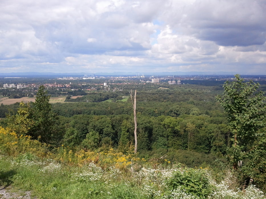
Von Südweststadt Karlsruhe Richtung Oberwald. Durch Dammerstock an der Alb entlang nach Ettlingen. Den Berg hoch zum Bismarckturm - an jedem 3. Sonntag von 11.00 - 17.00 Uhr im Sommer geöffnet. Schöne Aussicht über Ettlingen und Karlsruhe. Am Bergkamm des Wattkopf Richtung Grünwettersbach und dann bergab zur Hedwigsquelle. Durch Oberwald zurück nach Karlsruhe.
Tour gallery
Tour map and elevation profile
Minimum height 112 m
Maximum height 332 m
Comments

GPS tracks
Trackpoints-
GPX / Garmin Map Source (gpx) download
-
TCX / Garmin Training Center® (tcx) download
-
CRS / Garmin Training Center® (crs) download
-
Google Earth (kml) download
-
G7ToWin (g7t) download
-
TTQV (trk) download
-
Overlay (ovl) download
-
Fugawi (txt) download
-
Kompass (DAV) Track (tk) download
-
Track data sheet (pdf) download
-
Original file of the author (gpx) download
Add to my favorites
Remove from my favorites
Edit tags
Open track
My score
Rate


