


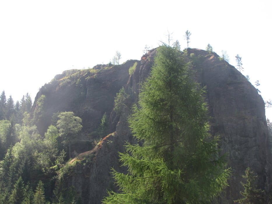
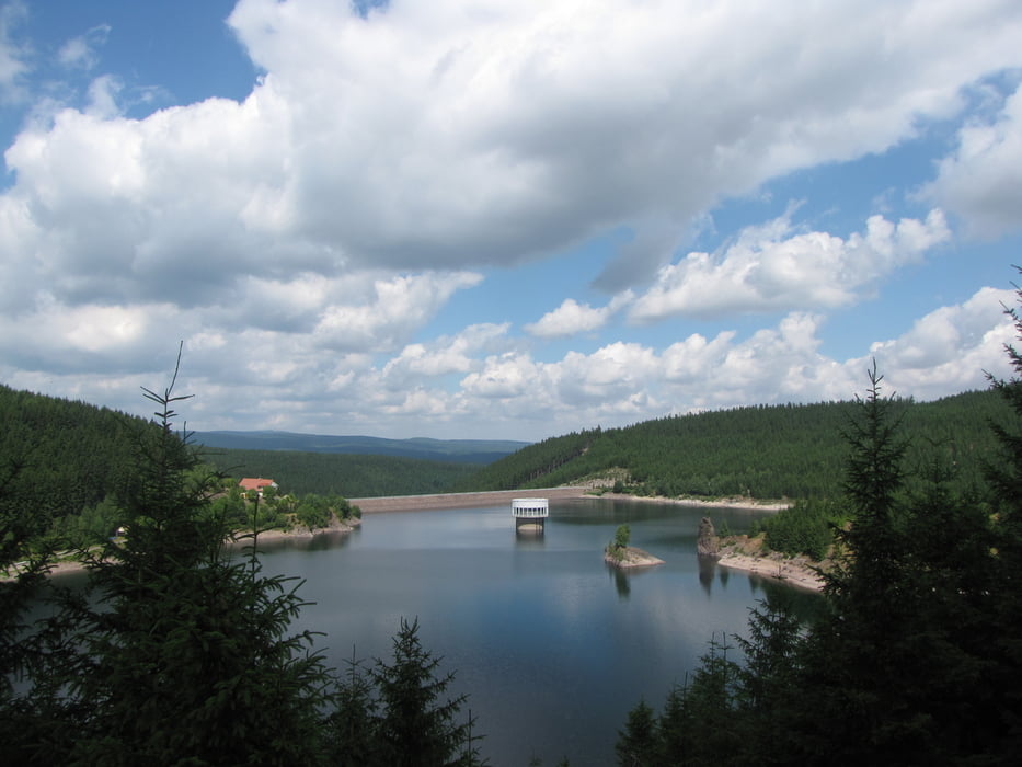
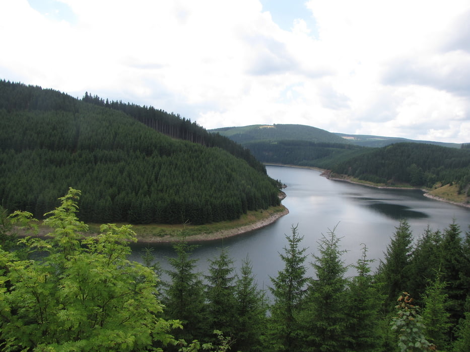
Diese Tour startet am Parkplatz unterhalb der Staumauer. Der Weg führt rechts an den Wirtschaftsgebäuden vorbei. Im ersten Abschnitt handelt es sich um einen Asphaltweg, der aber immer wieder sehr schöne Ausblicke bietet. Bevor das Ende des Stausees erreicht ist, zweigt der Weg in den Wald ab und erreicht nach kurzer Zeit den Falkenstein, einen imposanten Kletterfelsen. Danach geht es wieder zur Talsperre und auf der anderen Seite zurück zur Staumauer.
Tour gallery
Tour map and elevation profile
Minimum height 478 m
Maximum height 681 m
More about the tour author

|
tenneberg |
Comments

GPS tracks
Trackpoints-
GPX / Garmin Map Source (gpx) download
-
TCX / Garmin Training Center® (tcx) download
-
CRS / Garmin Training Center® (crs) download
-
Google Earth (kml) download
-
G7ToWin (g7t) download
-
TTQV (trk) download
-
Overlay (ovl) download
-
Fugawi (txt) download
-
Kompass (DAV) Track (tk) download
-
Track data sheet (pdf) download
-
Original file of the author (gpx) download
More about the tour author
|
|
tenneberg |
Add to my favorites
Remove from my favorites
Edit tags
Open track
My score
Rate