Login

Forgotten password?

Cookies have to be accepted!
Your browser's cookie functionality is disabled. Please enable this functionality.

Not a member yet?

Register now
Login

Available for registred users only

Log in to use this feature.

Forgotten password?

Cookies have to be accepted!
Your browser's cookie functionality is disabled. Please enable this functionality.

Not a member yet?

Register now
Filter
Categories
Advanced filters
  • Distance (km)
  • Height
Save filters Reset filter

TrackRank

QRCode

Technical data

Distance12,7 km Height665 m Way down654 m Duration03:30 h:m Date04.03.2007
Scores Author Landscape Fun factor Fitness Technique

Statistics

3997 Views Scores 172 Downloads Average
Rate
  • Track data sheet
  • Directions
  • Downloads
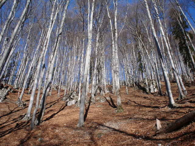
Schöne Tour durch den Wald mit stellenweiser herrlicher aussicht. Angenehm zu gehen, da, bis auf drei kurze steile Stücke, nur eine leichte Steigung. Auf der Hütte gibts Getränke, zwischen Mai und Oktober ist sie sonntags auch bewirtschaftet.

Tour gallery

Tour map and elevation profile

  • Open Street Map
  • Google
Minimum height 439 m Maximum height 1015 m Detailed view

More about the tour author

Conny und Nic

Comments

Von Gratwein immer Richtung Stift Rein ab dann Richtung Gasthof zur Linde, davor (gegenüber) parken.

GPS tracks

Trackpoints
  • GPX / Garmin Map Source (gpx) download
  • TCX / Garmin Training Center® (tcx) download
  • CRS / Garmin Training Center® (crs) download
  • Google Earth (kml) download
  • G7ToWin (g7t) download
  • TTQV (trk) download
  • Overlay (ovl) download
  • Fugawi (txt) download
  • Kompass (DAV) Track (tk) download
  • Track data sheet (pdf) download
  • Original file of the author (gpx) download

More about the tour author

Conny und Nic

Share track
Add to my favorites
Remove from my favorites
Edit tags
My score
Rate
Track: Rundwanderweg Stift Rein - Mühlbacherhütte - Stift Rein
Type: Hiking
Distance: 12,7 km
Evaluated on:
Duration:
Day(s)
Hour(s)
Minute(s)
Score: Landscape Fun factor Fitness Technique