


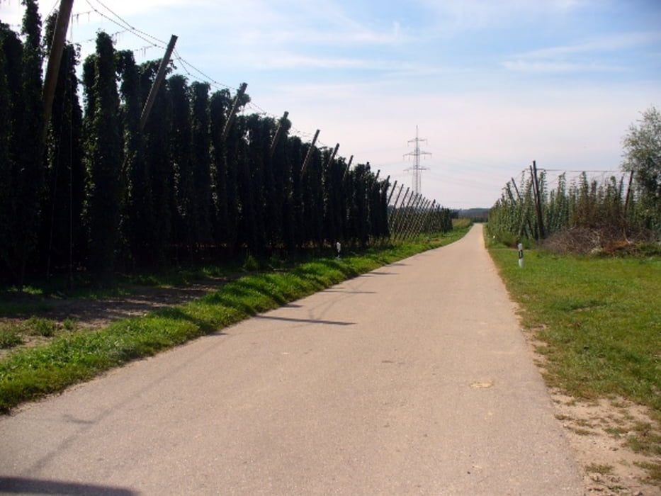
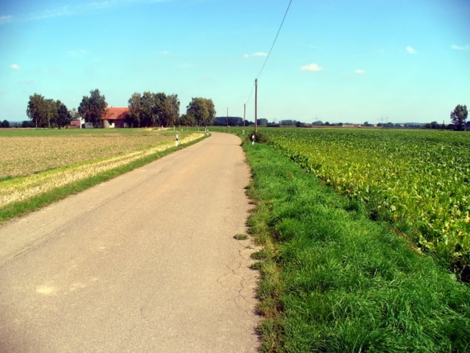
Startort ist Mitterfecking bei Saal an der Donau, Pullach, Holzharlanden, Sandharlanden, Bad Gögging, Neustadt, Marching, Lobsing, Pförring, Mauern, Neustadt, Ulrain, Biburg, Offenstetten, Unterteuerting, Mitterfecking
Nur leichte Anstiege auf größtenteils verkehrsarmer Strecke.
Einkehrmöglichkeiten: Beim Start in Mitterfecking Gasthof Zeller,(Parkmöglichkeit bei PKW-Anreise)
auf der Strecke in Marching, Pförring, Biburg, Offenstetten
Mehr Infos und Photos folgen !
Tour gallery


Tour map and elevation profile
Minimum height 353 m
Maximum height 452 m
More about the tour author

|
Feckinger |
Comments

Autobahn München - Regensburg, Ausfahrt Hausen, Richtung Kelheim
GPS tracks
Trackpoints-
GPX / Garmin Map Source (gpx) download
-
TCX / Garmin Training Center® (tcx) download
-
CRS / Garmin Training Center® (crs) download
-
Google Earth (kml) download
-
G7ToWin (g7t) download
-
TTQV (trk) download
-
Overlay (ovl) download
-
Fugawi (txt) download
-
Kompass (DAV) Track (tk) download
-
Track data sheet (pdf) download
-
Original file of the author (gpx) download
More about the tour author
|
|
Feckinger |
Add to my favorites
Remove from my favorites
Edit tags
Open track
My score
Rate