
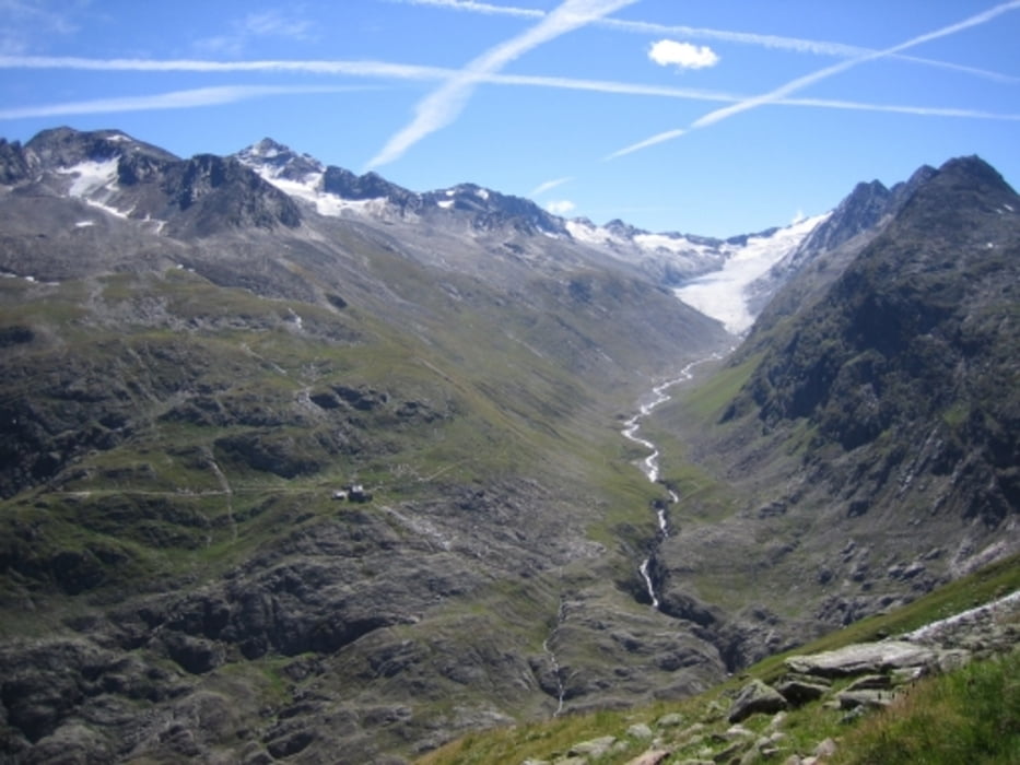

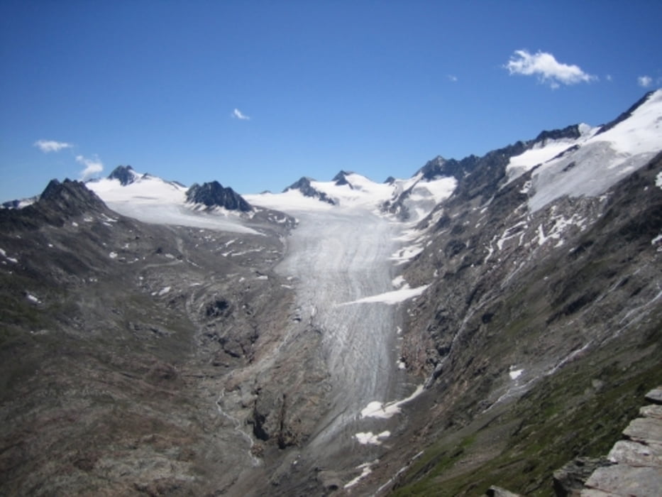
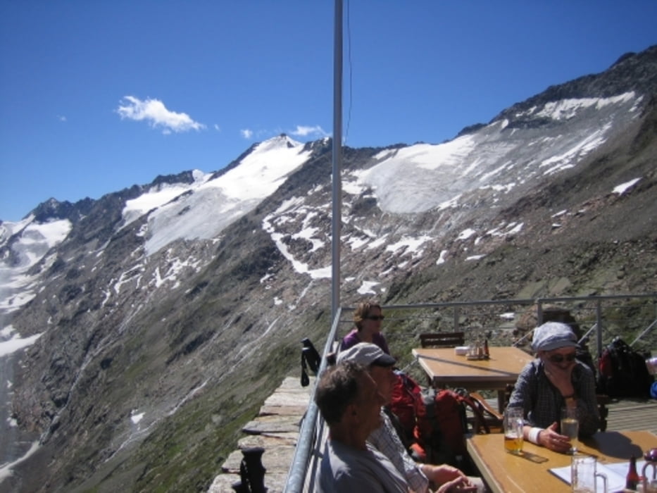
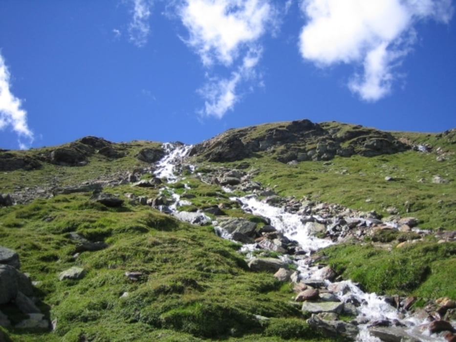
Eine sehr schöne, konstante Tour auf einen 3.000er, die auch für Nicht-Profis machbar ist. Es geht entlang der Bergflanke zumeist stetig bergauf, zu Beginn und am Ende halt auch etwas stärker. Auf dem Ramolhaus angekommen entschädigen der grandiose Blick auf die Gletscher und der Kaiserschmarrn großzügig für die Anstrengung.
Mit aufgezeichnet ist auch der Zugangspunkt vom Sammelparkplat am nördlichen Ortseingang bis zum eigentlichen Tourenbeginn am südwestlichen Ortsrand, wie es im Rother-Wanderführer für diese Tour Nr.45 nur etwas schwierig hervorgeht.
Musste den Tourverlauf leider aus Teilabschnitten zusammenstückeln, hoffe aber, dass er dennoch gescheit nachvollziebar ist.
Tour gallery
Tour map and elevation profile
Minimum height 1870 m
Maximum height 3006 m
More about the tour author

|
derBlick |
Comments

GPS tracks
Trackpoints-
GPX / Garmin Map Source (gpx) download
-
TCX / Garmin Training Center® (tcx) download
-
CRS / Garmin Training Center® (crs) download
-
Google Earth (kml) download
-
G7ToWin (g7t) download
-
TTQV (trk) download
-
Overlay (ovl) download
-
Fugawi (txt) download
-
Kompass (DAV) Track (tk) download
-
Track data sheet (pdf) download
-
Original file of the author (gpx) download
More about the tour author
|
|
derBlick |
Add to my favorites
Remove from my favorites
Edit tags
Open track
My score
Rate