


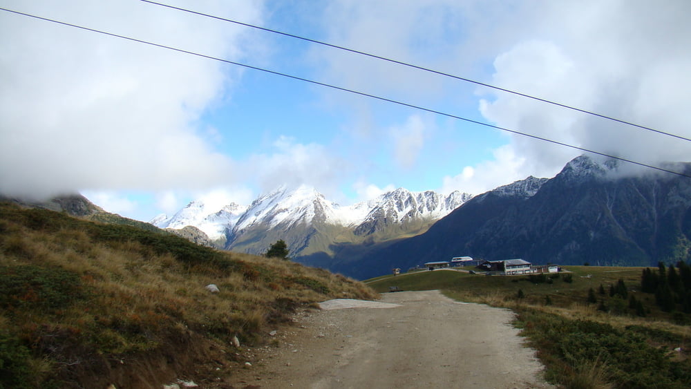
Start ist das Familotel Huber in Vals Südtirol. Es geht leicht berg auf zur Jochtal Talstation der Jochtal Bergbahn. Dann leicht abfallend durch den Wald bis zur Abzweigung Jochtal Bergstation/Nockenalm. Ab jetzt nur noch steil bergauf. Die Durchschnittliche Steigung liegt bei 16%. Mal sind es mehr als 20%, dann nur 14%. Steigungen kleiner 10% sind nicht dabei. Der Untergrund ist teils sehr steinig, im letzten und steilsten Abschnitt (>20%) befindet sich eine ca. 150m lange Sandstrecke. Oben angekommen kann man entweder den Panoramarundweg fahren, oder wie ich bis ganz nach oben zum Gipfelkreuz. (ist problemlos fahrbar)
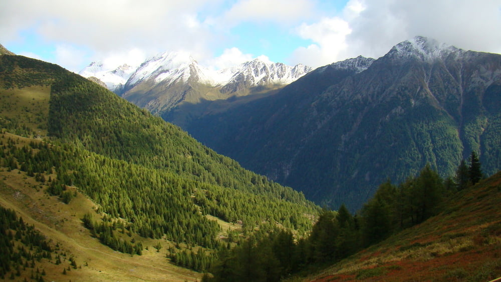
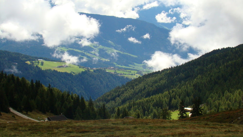
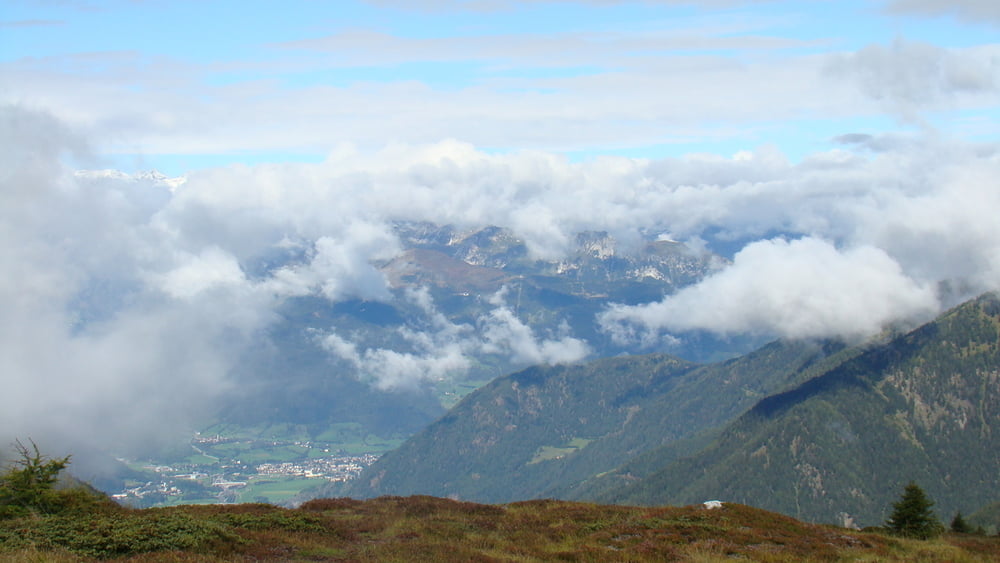
Tour gallery
Tour map and elevation profile
Minimum height 1245 m
Maximum height 2140 m
More about the tour author

|
tborger |
Comments

GPS tracks
Trackpoints-
GPX / Garmin Map Source (gpx) download
-
TCX / Garmin Training Center® (tcx) download
-
CRS / Garmin Training Center® (crs) download
-
Google Earth (kml) download
-
G7ToWin (g7t) download
-
TTQV (trk) download
-
Overlay (ovl) download
-
Fugawi (txt) download
-
Kompass (DAV) Track (tk) download
-
Track data sheet (pdf) download
-
Original file of the author (tcx) download
More about the tour author
|
|
tborger |
Add to my favorites
Remove from my favorites
Edit tags
Open track
My score
Rate