


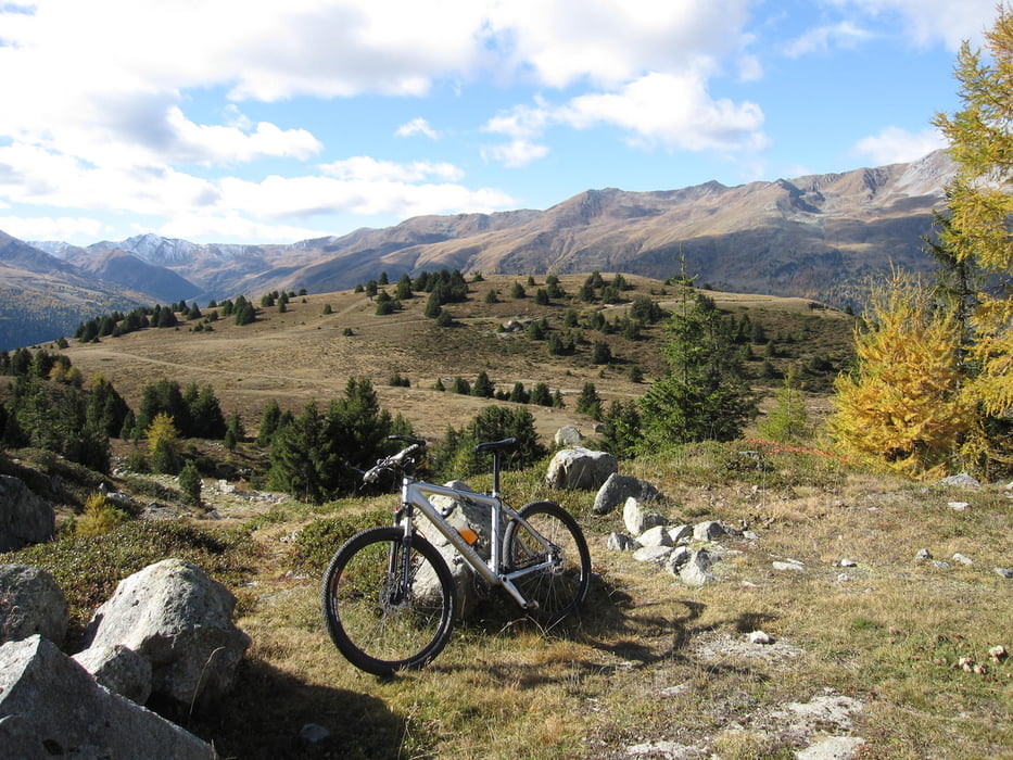
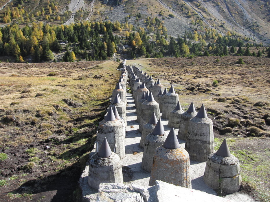
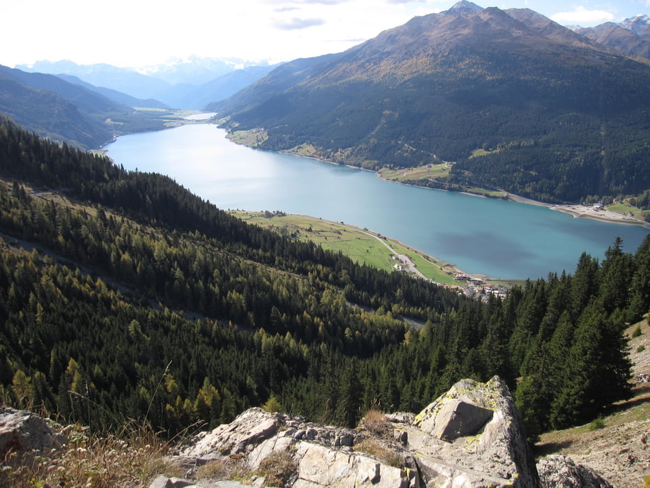
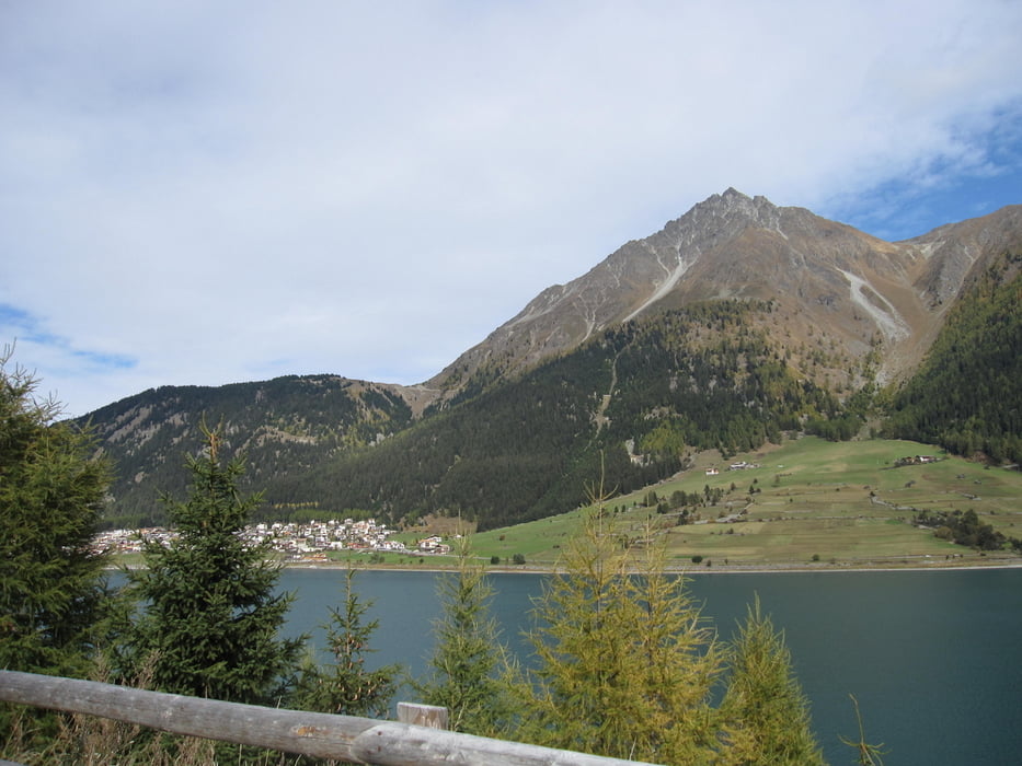
Von Glurns dem Radweg entlang Richtung St. Valentin auf der Haide. Zwischen Haidersee und Reschensee links abbiegen nach Schöneben und Rojen. Auf der Straße von Rojen nach Reschen links abbiegen auf die Forststraße Richtung Reschener Alm und weiter bis zum Grünsee. Von dort Abfahrt hinunter nach Nauders. Bei der Talstation der Bergkastelseilbahn vorbei und wieder aufwärts Richtung Bergkastel/Plamort. Von Plamort talwärts Richtung Reschensee (Klopairhof), Haidersee, Alsack, Ulten, Mals und zum Ausgangspunkt nach Glurns.
Tour gallery
Tour map and elevation profile
Minimum height 876 m
Maximum height 2094 m
More about the tour author
|
|
thopri |
Comments

GPS tracks
Trackpoints-
GPX / Garmin Map Source (gpx) download
-
TCX / Garmin Training Center® (tcx) download
-
CRS / Garmin Training Center® (crs) download
-
Google Earth (kml) download
-
G7ToWin (g7t) download
-
TTQV (trk) download
-
Overlay (ovl) download
-
Fugawi (txt) download
-
Kompass (DAV) Track (tk) download
-
Track data sheet (pdf) download
-
Original file of the author (gpx) download
More about the tour author
|
|
thopri |
Add to my favorites
Remove from my favorites
Edit tags
Open track
My score
Rate