Login

Forgotten password?

Cookies have to be accepted!
Your browser's cookie functionality is disabled. Please enable this functionality.

Not a member yet?

Register now
Login

Available for registred users only

Log in to use this feature.

Forgotten password?

Cookies have to be accepted!
Your browser's cookie functionality is disabled. Please enable this functionality.

Not a member yet?

Register now
Filter
Categories
Advanced filters
  • Distance (km)
  • Height
Save filters Reset filter

TrackRank

QRCode

Technical data

Distance42,6 km Height791 m Way down116 m Duration07:03 h:m Date14.09.2010
Scores Author Landscape Fun factor Fitness Technique

Statistics

533 Views Scores 43 Downloads Average
Rate
  • Track data sheet
  • Directions
  • Downloads

Alpencross_2010

Tag 2

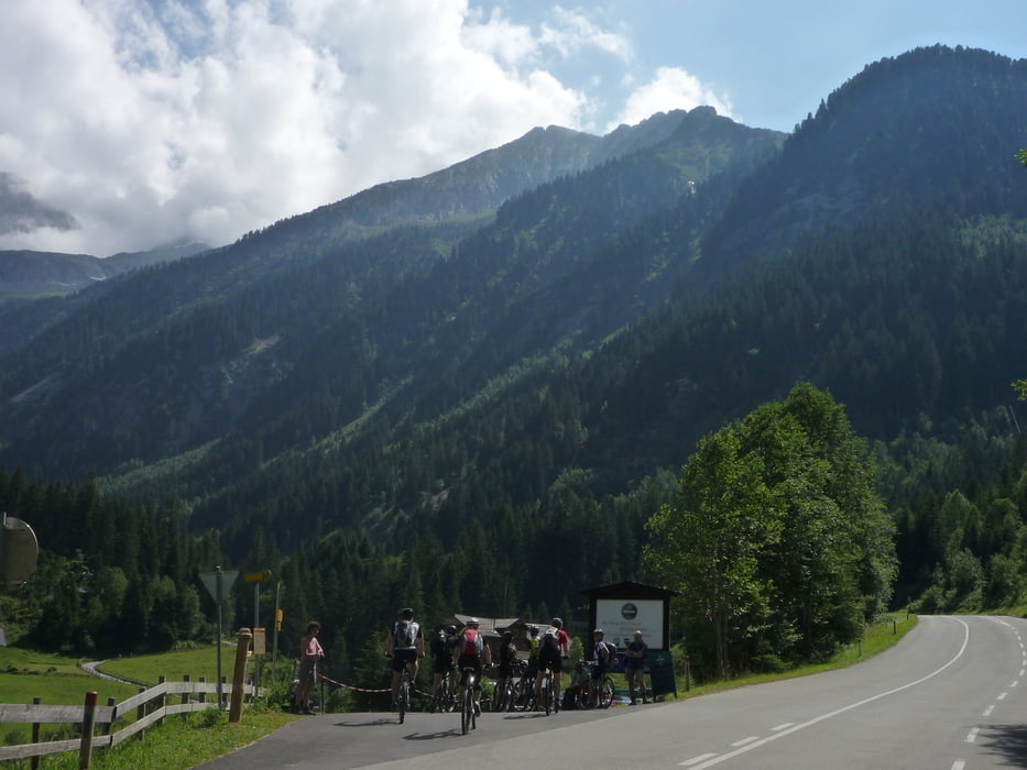
Von Kaltenbach weiter durchs Zillertal nach Mayrhofen ( hier kurze Rast und Einkauf des Mittagessens, das wir in einem kühlen Flussbett abhielten) dann auf Seitenstraßen über Ginzling nach Breitlahner.

Tour gallery

Tour map and elevation profile

  • Open Street Map
  • Google
Minimum height 582 m Maximum height 1273 m Detailed view

More about the tour author

odwgeist
Member since 2010

Send private message

Comments

GPS tracks

Trackpoints
  • GPX / Garmin Map Source (gpx) download
  • TCX / Garmin Training Center® (tcx) download
  • CRS / Garmin Training Center® (crs) download
  • Google Earth (kml) download
  • G7ToWin (g7t) download
  • TTQV (trk) download
  • Overlay (ovl) download
  • Fugawi (txt) download
  • Kompass (DAV) Track (tk) download
  • Track data sheet (pdf) download
  • Original file of the author (tcx) download

More about the tour author

odwgeist
Member since 2010

Send private message
Share track
Add to my favorites
Remove from my favorites
Edit tags
My score
Rate
Track: Kaltenbach - Breitlahner
Type: Transalp
Distance: 42,6 km
Evaluated on:
Duration:
Day(s)
Hour(s)
Minute(s)
Score: Landscape Fun factor Fitness Technique