

Tour Murrhardt 1+3
Kombination von Tour 1 (Siebenknie) und Tour 3 (Römerritt)
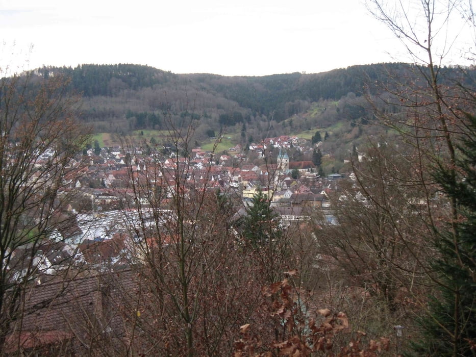
Gestartet bin ich am Parkplatz von Lidl.
Tour beginnt mit Anstieg von 19% auf Asphaltstrasse.
In Tour 1 ist der Single Trail Anteil sehr hoch.
Tour 3 fordert einem ab" Villa Franck" mit einem Anstieg und 150hm
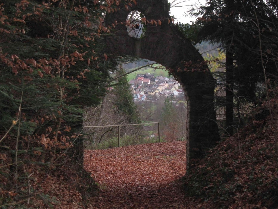
Am Anfang relativ viel Asphaltanteil , wird aber ab Grab wesentlich besser.
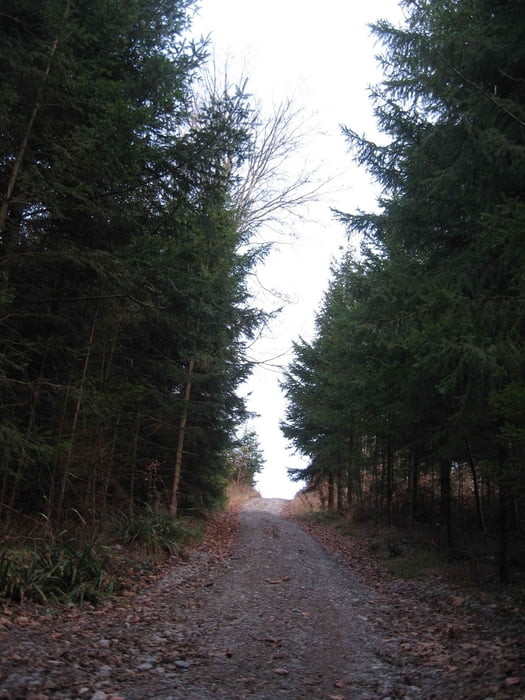
Auf dieser Tour gibt es kaum gerade Strecken. Zum Teil sehr giftige Anstiege
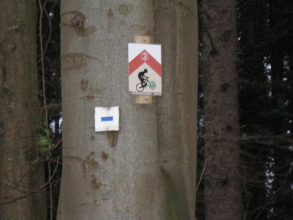
Tour kann bis auf wenige knifflige Punkte auch nach den Hinweisschildern gefahren werden
Tour gallery
Tour map and elevation profile
Minimum height 283 m
Maximum height 550 m
More about the tour author

|
juergen_ko |
Comments
GPS tracks
Trackpoints-
GPX / Garmin Map Source (gpx) download
-
TCX / Garmin Training Center® (tcx) download
-
CRS / Garmin Training Center® (crs) download
-
Google Earth (kml) download
-
G7ToWin (g7t) download
-
TTQV (trk) download
-
Overlay (ovl) download
-
Fugawi (txt) download
-
Kompass (DAV) Track (tk) download
-
Track data sheet (pdf) download
-
Original file of the author (gpx) download
More about the tour author
|
|
juergen_ko |
Add to my favorites
Remove from my favorites
Edit tags
Open track
My score
Rate
nette Tour
Allerdings, bei einer Technikbewertung mit vier Sternen hätten wir uns deutlich mehr versprochen.
Ich würde sagen es sind allerhöchstens drei Sterne!
Leider haben auf einigen Abschnitten die Waldarbeiter ordentliche Rinnen in den Wald gefräst, weshalb manche Wege nicht mehr befahrbar sind bzw. man in Spurrinnen und Matsch versinkt.
Ansonsten ist die Tour wirklich zu empfehlen!
Danke!