


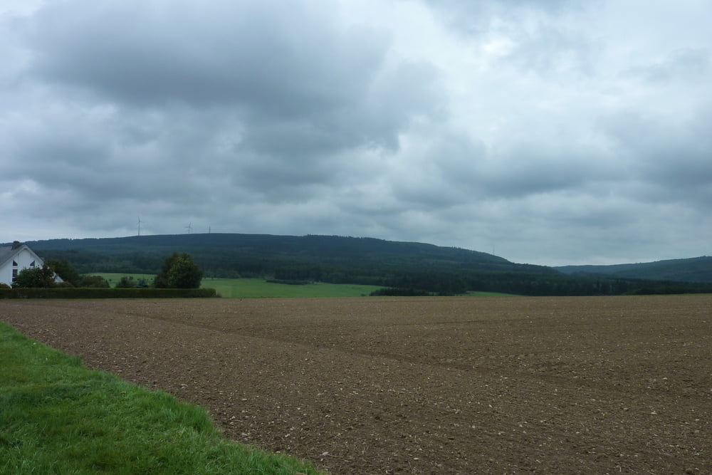
Die Wanderung beginnt an der Volksbank in Rheinböllen und geht über Dichtelbach, vobei an der ehemaligen Housing der US-Soldaten zum Ohligsberg. Hier befindet sich eine Schutzhütte von der man einen traumhaften Blick zum Rheintal hat. Wir gehen weiter über den Kandrich wo man die Windräder aus nächster Nähe beobachten kann. Nun gehen wir hinunter zu unserem Stärkungspunkt dem Gasthaus Emmerichshütte. (Dienstag Ruhetag) Nach der ausgiebigen Stärkung gehen wir wieder zum Ausgangspunkt Volksbank Rheinböllen zurück. Die Wanderstrecke ist ca. 14 KM
Tour gallery

Tour map and elevation profile
Minimum height 376 m
Maximum height 624 m
More about the tour author

|
benzerter |
Comments

Über die A61 -Ausfahrt Rheinböllen- Volksbank
GPS tracks
Trackpoints-
GPX / Garmin Map Source (gpx) download
-
TCX / Garmin Training Center® (tcx) download
-
CRS / Garmin Training Center® (crs) download
-
Google Earth (kml) download
-
G7ToWin (g7t) download
-
TTQV (trk) download
-
Overlay (ovl) download
-
Fugawi (txt) download
-
Kompass (DAV) Track (tk) download
-
Track data sheet (pdf) download
-
Original file of the author (gpx) download
More about the tour author
|
|
benzerter |
Add to my favorites
Remove from my favorites
Edit tags
Open track
My score
Rate