


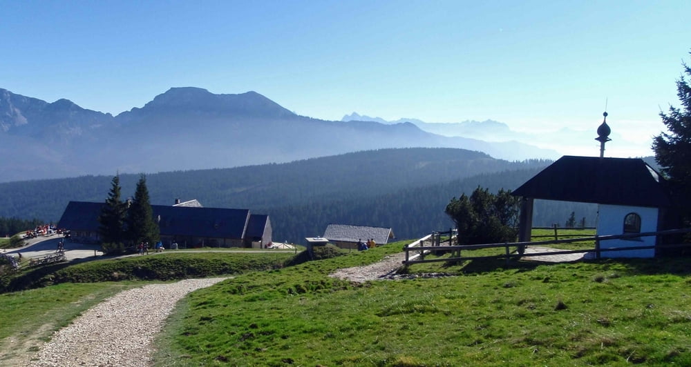
Teisenbergrunde über Adlgaß, Beckeralm und Stoißer Alm.
Ausgangspunkt ist Freidling bei Teisendorf.
(Alternativ kann man auch von Höglwörth, Anger oder Adlgaß bei Inzell starten.)
Die Tour führt hauptsächlich über Forststraßen und einen kurzen Trail (nahe der Stoißeralm). Unterwegs sind super Einkehrmöglichkeiten vorhanden (Wirtshaus Adlgaß bei Inzell, Beckeralm und Stoißer Alm)
Tour gallery
Tour map and elevation profile
Minimum height 576 m
Maximum height 1283 m
More about the tour author

|
luis-trenker |
Comments

Direkt in Teisendorf vom Kreisverkehr kommend nach der Tankstelle 2x rechts in die Freidlinger Straße abbiegen und auf dieser Straße bis Freidling bleiben.
Alternative Startorte sind Höglwörth / Anger oder Adlgaß (bei Inzell)
GPS tracks
Trackpoints-
GPX / Garmin Map Source (gpx) download
-
TCX / Garmin Training Center® (tcx) download
-
CRS / Garmin Training Center® (crs) download
-
Google Earth (kml) download
-
G7ToWin (g7t) download
-
TTQV (trk) download
-
Overlay (ovl) download
-
Fugawi (txt) download
-
Kompass (DAV) Track (tk) download
-
Track data sheet (pdf) download
-
Original file of the author (gpx) download
More about the tour author
|
|
luis-trenker |
Add to my favorites
Remove from my favorites
Edit tags
Open track
My score
Rate